
SLIDE 1
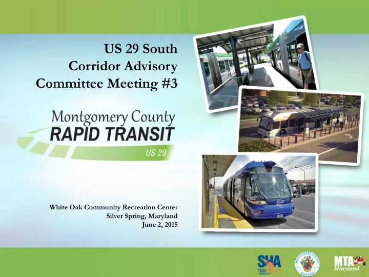
US 29 South Corridor Advisory Committee Meeting #3
White Oak Community Recreation Center Silver Spring, Maryland June 2, 2015
US 29 South Corridor Advisory Committee Meeting #3 White Oak - - PowerPoint PPT Presentation
US 29 South Corridor Advisory Committee Meeting #3 White Oak Community Recreation Center Silver Spring, Maryland June 2, 2015 Welcome Topics to be discussed (times approximate): Project Update 15 min Transit Ridership 35 min
US 29 South Corridor Advisory Committee Meeting #3
White Oak Community Recreation Center Silver Spring, Maryland June 2, 2015
2
Topics to be discussed (times approximate):
Note: Each topic will be followed by a question and answer session. Please hold questions and comments until the section presentation is complete.
3
(i.e., NEPA or MEPA)
transportation planning process
environmental review process (i.e., NEPA or MEPA)
http://environment.fhwa.dot.gov/integ/index.asp
4
The Informational Open House meetings postponed, to:
Hampshire Avenue BRT Study)
efforts: “Save The Date” postcard, informational brochure, newspaper ads, project website, and coordination with local civic organizations.
5
Improvements Program (CIP) that included funding for a study of the MD 650 BRT corridor.
schedule, and budget to commence BRT corridor planning on MD 650.
corridor planning study.
becomes available.
6
Topics to be discussed:
7
Silver Spring Burtonsville
7
8
and Clusters
Source: MWCOG, regional MPO travel demand model 8
9
(17% increase)
Source: 2040 forecasts developed using MWCOG, regional MPO travel demand model 9
10
2014-2040
(78% increase)
Source: 2040 forecasts developed using MWCOG, regional MPO travel demand model 10
11
trips (2040), which represents 40% of total trips
Source: 2040 forecasts developed using MWCOG, regional MPO travel demand model
12
4,000 Trips in 2010
Source: 2006-2010 CTPP
4,000
13
20,000 commuter trips in 2010
Source: 2006-2010 CTPP
20,000
14
North US 29 corridor and DC: 10,000 Trips
Source: 2006-2010 CTPP
10,000
15
Ridership: 19,900
increases by 40%
by 40%
Source: 2040 forecasts developed using MWCOG, regional MPO travel demand model 15
16
Purple Line
Stations
Source: 2040 forecasts developed using MWCOG, regional MPO travel demand model 16
17
Summary:
external to DC
transit priority
18
19
Topics to be discussed:
Levels of Service
20
21
22
23
24
25
26
* This % change does not affect buses individually – it is a network wide bus miles traveled comparison Red indicates delay increase
Total Network Wide Travel Times from MD 198 to MD 97
Southbound Northbound 2015 Existing 2040 No Build % change 2015 Existing 2040 No Build % change AM Cars & Trucks 34 min 44 min
21 min 21 min 0% AM Buses* 34 min 44 min
25 min 25 min 0% PM Cars & Trucks 23 min 25 min
25 min 37 min
PM Buses* 27 min 30 min
30 min 45 min
27
27
Roadway Sections (North to South) 3-year Crash Rate per Mile High Crash Types MD 97 to Spring Street
Includes portions of US 29 south of MD 97
200
High crash segment
Sideswipe, pedestrian, property damage, & parked vehicles Spring Street to MD 193 (University Boulevard) 182 Rear end & Sideswipe MD 193 (University Boulevard) to Lockwood Drive 117 Opposite Direction Lockwood Drive to Stewart Lane 103 Injury, Left Turn & Night time Stewart Lane to Musgrove Road 95 Injury, Left Turn, Angle, & Night Time Musgrove Road to MD 198 (Sandy Spring Road) 64 Night Time
28
Summary:
to 2040, with some segments experiencing increased average speeds fluctuating between 2% to 16%
fatal crashes and 24 pedestrian crashes) along US 29 in study limits
Swipe (19%).
29
30
Topics to be discussed:
31
The purpose of this project is to provide a higher speed, higher frequency, all day transit service along the US 29 corridor between the Silver Spring Transit Center and the Burtonsville Park & Ride that will:
efficiency and travel times;
current transit riders;
study limits and the County; and
32
Four specific needs for the project have been identified by the study team:
Silver Spring to Burtonsville that can support the surrounding mixed used development along the corridor.
unpredictable bus service, longer travel times, and delayed schedules. Corridor-wide enhancements to address efficiency and reliability are needed to improve mobility for transit riders.
continues to grow. A high-quality transit service is needed to maintain current transit riders and attract new riders.
transportation network that enhances choices for transportation users and promotes positive effects on the surrounding communities and residents’ quality of life.
33
Topics to be discussed:
34
Introduction:
corridor to best fit within the surrounding area
corridor
between vehicles and the BRT, as they could generally be applied throughout the corridor
OF THE US 29 CORRIDOR
35
Option 1 – BRT in Mixed Traffic
36
37
BRT queue jump lanes.
Option 2 – BRT Queue Jump Lanes
38
39
40
direction BRT buses will operate in mixed traffic and could use existing bus stops retrofitted for BRT.
Type A: Additional lane is included to accommodate the dedicated BRT lane
Option 3 – One-Way, Reversible, Dedicated BRT Lane
A.M. Peak Configuration Shown
41
Type B: Existing travel lane is repurposed to accommodate the dedicated BRT lane.
Option 3 – One-Way, Reversible, Dedicated BRT Lane
A.M. Peak Configuration Shown
42
Type A: Additional lane is included to accommodate the dedicated BRT lane
Option 4 – Bi-Directional, Dedicated BRT Lane
43
44
45
Type B: Existing travel lane is repurposed to accommodate the dedicated BRT lane
Option 4 – Bi-Directional, Dedicated BRT Lane
A.M. Peak Configuration Shown
46
implemented via additional lanes or repurposing of existing travel lane(s).
Type A: Additional lanes are included to accommodate the dedicated BRT lanes
Option 5 – Dedicated BRT Median Lanes
47
Type B: Existing travel lanes are repurposed to accommodate the dedicated BRT lanes
Option 5 – Dedicated BRT Median Lanes
48
49
additional lanes or repurposing of existing travel lane(s).
those merging to and from US 29.
Type A: Additional lanes are included to accommodate the dedicated BRT lanes
Option 6 – Dedicated BRT Curb Lanes
50
Type B: Existing travel lanes are repurposed to accommodate the dedicated BRT lanes
Option 6 – Dedicated BRT Curb Lanes
51
52
*Types Vary – Could be achieved through additional lanes or lane repurposing.
Summary of Options
53
54
Topics to be discussed:
55
Topics Covered:
Existing Conditions Purpose and Need Regional Travel Demand Traffic & Ridership
Crash History Environmental Inventory BRT Running Ways
Analyses
Other topics/issues you would like to discuss at future meetings?
Upcoming Topics:
56
57
58