
SLIDE 1
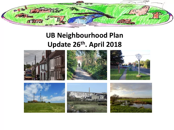
UB Neighbourhood Plan Update 26 th . April 2018 Neighbourhood Plan - - PowerPoint PPT Presentation
Neighbourhood Plan UB Neighbourhood Plan Update 26 th . April 2018 Neighbourhood Plan VISION STATEMENT To improve the quality of life for those who live in the Villages of Upper Beeding, Small Dole and Edburton by improving and developing the
Objective 1 To protect the character, qualities and identity of the landscape setting of the Parish and maintain the distinctive character of the settlements. Objective 2 To support the role of Upper Beeding as a local shopping centre with increased commercial activity, visitors and tourism whilst protecting the character of the High Street. Objective 3 To support the provision of new and improved community, sports, leisure and educational facilities for a wide range of parish needs and to reinforce a shared identity and purpose. Objective 4 To secure the future of the existing employment uses within the Parish and plan for their growth to serve and support the local economy. Objective 5 To plan positively for new housing to meet local needs, in particular for elderly downsizers, that are sympathetic to the scale, topography and character of the Parish and that will not have a detrimental impact on the setting. Objective 6 To develop a green infrastructure plan for the Parish that will improve accessibility for pedestrians, cyclists and safe routes to school and for better links to Bramber and Steyning. To provide access to, and enjoyment of the SDNP as a recreation and leisure amenity. Objective 7 To ensure the built environment, natural environment and areas of biodiversity are protected and enhanced for future generations. This includes protecting areas of open space. Objective 8 To support South Downs National Park Authority in the future planning of the Cement works.
Policy 1 Spatial Plan for the Parish Policy 2 Housing Allocations Policy 3 Land east of Pound Lane, Upper Beeding Policy 4 Land at southern end of Oxcroft Farm, Small Dole Policy 5 Land at Greenfields, Henfield Road, Upper Beeding Policy 6 Riverside Caravan Park, Upper Beeding Policy 7 Land at Valerie Manor, Henfield Road, Upper Beeding Policy 8 Design Standards for New Development Policy 9 Community Facilities Policy 10 Employment Sites and Supporting Businesses Policy 11 Local Green Spaces Policy 12 Broadband
reduce congestion.
Dole and the Upper Beeding side of the river to Dacre Gardens.
recognised road crossing from the Dacre Gardens side of the A283 to the river side and bus stop.
the Memorial playing field for better utility and appearance.
register.
hostel, stables, and cycle centre.
climbing, water sports, zip wire, mountain boarding, skate boarding, fun games.
environment.
required for the local area, to include residential and study facilities for students of all ages.
and manufacture
local companies but affordable to all.
communities.
the local community
Site Ref. Location/description Site area (ha) SHELAA Ref. NP Recommendation Current land use Site 1 Strip of Land, Smugglers Lane 0.66 SA055 Developable Agriculture, grazing Site 2 Land East of Pound Lane 1.09 SA483 Developable Agriculture, grazing Site 3 Little Paddocks 2.17 SA488 Developable Agriculture, grazing, Site 4 Greenfields, Henfield Road 0.32 – Developable Highways depot Site 5 Oxcroft Farm, Small Dole 1.31 – Developable Farm, agriculture Site 6 Valerie Manor 0.44 – Developable * Greenfield Site 7 Church Farm adj.to Caravan Park 0.56 SA629 Not Developable Greenfield , scrub Site 8 Riverside Caravan Park 0.22 – Developable ** Static Homes Site 9 W of Henfield Road, Small Dole 2.32 – Not Developable Agricultural, residential * With SDNP Support ** With EA Support
All Landowners or their Representatives have been updated on the recommendations and advised that further meetings will be set up with them once the Draft NP has been published.
may not be completed until early May.
SDNP, HDC, Southern Water , Natural England, Historic England, Environment Agency etc.) This will hopefully be by the end of May.
any comments / make representations on the Plan
and there will be sessions held in UB and SD where members of the NP Team will be available to explain the Plan in more detail , dates TBC.
Plan Regulations
before being submitted to HDC. HDC will review and carry out its regulation 16 consultation – also a minimum of 6 weeks.
plan against the Basic Conditions. All representations will be sent directly to him/her for consideration and he/she will produce a report which will hopefully recommend the plan proceed to referendum (possibly with modifications in order to meet the basic conditions).
will be with HDC. The examination and referendum will be arranged by HDC.