Tools for Identifying Climate Vulnerable Communities ICARP TAC - - PowerPoint PPT Presentation
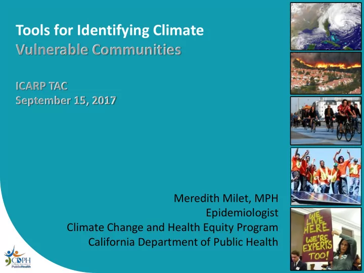
Tools for Identifying Climate Vulnerable Communities ICARP TAC September 15, 2017 Meredith Milet, MPH Epidemiologist Climate Change and Health Equity Program California Department of Public Health Tools for Identifying Climate Vulnerable
Tools for Identifying Climate Vulnerable Communities
- CDPH: Climate Change and Health
Vulnerability Indicators for California (CHVI)
- Public Health Alliance of Southern California
(PHASC): Health Disadvantage Index (HDI)
Source: Bay Area Regional Health Inequities Initiative (BARHII) Conceptual Framework, 2006.
A Public Health Framework
Climate & Health Vulnerability
Climate Change and Health Vulnerability Indicators for California ADAPTIVE CAPACITY
Responses and adjustments to the impacts of climate change, including the capacity to moderate damages, take advantage of opportunities, and cope with consequences.
POPULATION SENSITIVITY
Physiological and socio- economic factors which irectly or indirectly affect the gree to which a population is impacted by climate change d de
ENVIRONMENTAL EXPOSURES
Magnitude, frequency, and duration of environmental or climate-related factors that directly affect human health
Climate Change and Health Vulnerability Indicators for California
Environmental Exposures: Heat Air Quality Drought Wildfires Sea Level Rise
Population Sensitivity: Children and Elderly Poverty Education Race and Ethnicity Outdoor Workers Vehicle Ownership Linguistic Isolation Disability Health Insurance Violent Crime Rate
Adaptive Capacity: Air Conditioning Ownership Tree Canopy Impervious Surfaces Public Transit Access
Development of the Climate Change and Health Vulnerability Indicators for California
California Building Resilience Against Climate Effects (CalBRACE) Program, CDC-Funded Identify highest priority climate hazards and vulnerabilities Final CHVI Compile available data National guidelines Previously piloted tool Research
- n climate
and health
Climate Change and Health Vulnerability Indicators
- 3 Domains, 19 indicators
- Geographic Levels: State, Climate Region, County,
Census Tract (for most indicators)
- Data can be ranked (e.g., highest to lowest, decile, ratio
compared to state average)
- Some indicators can be stratified by race/ethnicity
- Public data sources
- Accompanying narratives explain data sources, how to
use the data, and their relevance to climate and health
Climate Change and Health Vulnerability Indicators
10
Health Disadvantage Index
http://phasocal.org/ca-hdi/
Development of the Health Disadvantage Index
11
Current HDI Domains and Indicators
12
Current HDI Methodology
13
- 6 domains, 27 indicators
- Public data sources
- Geographic unit: Census Tract
- Standardize and scale each indicator: Z score between
0 (least) and 5 (most disadvantaged)
- Compute domain arithmetic means
- Total score = weighted average of domain means with
weights informed by literature
- Provide raw score and percentile among 7,793 eligible
Census Tracts
Online Map and Drill Down
14
Online Map and Drill Down
15
How Does HDI Compare to CES?
16
Life Expectancy at Birth (years) in Most and Least Disadvantaged HDI and CES Census Tracts, 2010
17
Update to HDI 2.0: Healthy Places Index
- Update data with ACS 2010-2014
- Improve domain weighting and predictive power
- Validate score against health outcomes
- Improved map functionality
- Climate change indicators added as layers (decision
support layers)
- Accompanying policy guides
18