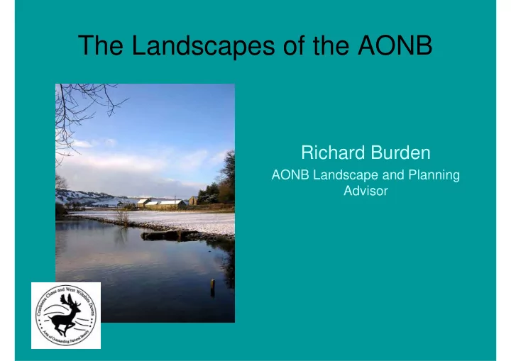
SLIDE 1 The Landscapes of the AONB
Richard Burden
AONB Landscape and Planning Advisor
SLIDE 2 What is Landscape?
Landscape is more than just topography and ground cover; it includes the interactions of generations of people who have lived, worked,
- r visited; the cultural as
well as physical attributes; and the living wildlife, the aesthetic, and the productive aspects. Landscapes are more than three dimensional, they change daily and seasonally, they respond to the weather, some have a greater proportion of hard and constructed elements whilst in others the soft and semi-natural predominate.
SLIDE 3 Why Characterise Landscapes?
We need to have LCAs to help us know and understand our landscapes in order to:
- meet our duties to conserve and enhance
them
- influence sustainable landscape
management
- better design & integrate essential
development
- Comply with PPS7, para 24
SLIDE 4 Landscape Character Assessments
Level Scale Terminology
National Broad National [Joint] Overview Character Areas County/ Readily Landscape District/AONB recognisable Character Types
Character Areas Locality/Site Detailed Landscape Character Areas, Local Landscape Context
SLIDE 5
LANDSCAPE CHARACTER TYPES AND AREAS CCWWD AONB: 8 Landscape Types 15 Landscape Areas
SLIDE 6 Chalk Escarpments: LC Type 1
Arable cultivation is often found on shallower slopes at the foot of the steep wooded scarp face.
SLIDE 7 Chalk Escarpments: Key Characteristics
- Dramatic chalk escarpments eroded into rounded spurs
and deep combes.
- Underlying geology of Lower, Middle and Upper Chalk
giving rise to the predominantly calcareous soils.
- Areas of unimproved chalk grassland of international
importance on steeper slopes.
- Field systems on the lower slopes, including strip lynchets
close to medieval villages sited along the springline.
- Improved pasture and arable fields occupy the shallower,
more accessible, slopes where straight-sided fields represent late 18th/early 19th century Parliamentary inclosure.
- Hanging woodland and sunken lanes are features of the
steep, enclosing chalk combes.
- Panoramic views over adjacent landscapes.
SLIDE 8
Landscape Character Areas
Whilst character types are generic, character areas are specific and have locality names Areas are not sites; they are the context for sites Remember the cultural heritage aspects of landscape as well as the topographic structure, artefacts and living features
SLIDE 9
Character Descriptions
Character descriptions should aim to create ‘mind pictures’, and focus on local distinctiveness and sense of place Descriptions should be structured and ‘value neutral’ It is entirely appropriate to include human emotions and responses to landscapes – but after the objective description and analysis!
SLIDE 10 Chalk Escarpments: A Melbury to Blandford
B West Wiltshire Downs C Fovant and Chalke
Ancient strip lynchets create strong landform patterns on the escarpment. The Fovant Badges are key landmark features of the steep slopes. Note the farm
- n the Greensand Terrace below the slope.
Steep slope with sharp transition and scrub developing on ancient permanent grassland
SLIDE 11 Character Descriptions
Key Characteristics Location and Boundaries Summary of Visual Character
PHYSICAL INFLUENCES
- Geology and Soils
- Landform and Hydrology
- Land Cover
- Ecological Character and Biodiversity
SLIDE 12 Character Descriptions
HUMAN INFLUENCES
- Evidence of Past Social Structure
- Field Patterns, Boundaries and Predominant Date of
Enclosure
- Land Use and Recreation
- Historic Development of Settlement and Relationship
with the Landscape
- Settlement and Built Character
- Historic Environment
EVALUATION
- Strength of Character
- Current Condition
- Past and Present Change
- Possible Future Trends
- Management Objective
SLIDE 13 Area1A: MELBURY TO BLANDFORD CHALK ESCARPMENT Key Characteristics
- Dramatic chalk escarpment on the western edge
- f the AONB with rounded spurs and deep
combes.
- Underlying geology of Lower, Middle and Upper
Chalk giving rise to the predominantly calcareous soils.
- Areas of unimproved chalk grassland of
international importance on steeper slopes interspersed with broken areas of scrub.
- Arable crop production and improved pasture on
the shallower slopes.
- Hanging woodland and sunken lanes are features
- f the steep, enclosing chalk combes.
SLIDE 14 Area1A: MELBURY TO BLANDFORD CHALK ESCARPMENT Key Characteristics
- Beech copses, Scot’s pine and hanging woodland
enhance the sense of woodedness, increase enclosure and act as focal points.
- Elevated and uninterrupted landform, provides
panoramic views over adjacent landscapes.
- Round barrows and cross-ridge dykes along the
escarpment edge.
- Field systems on the lower slopes, including strip
lynchets close to medieval villages sited along the springline.
- Straight-sided fields represent late 18th/early 19th
century Parliamentary enclosure.
SLIDE 15
Open Chalk Downlands:
Areas: West Wiltshire Downs Southern Downland Belt
SLIDE 16
Downland Hills:
Area: Martin – Whitsbury Downland Hills
SLIDE 17
Wooded Chalk Downland:
Area: Cranborne Chase
SLIDE 18
Chalk River Valleys
Areas: Wylye Chalk River Valley Ebble Chalk River Valley Stour & Avon Tributary Valleys
SLIDE 19
Greensand Terrace
Areas: Fovant Greensand Terrace Kilmington Greensand Terrace
SLIDE 20
Greensand Hills
Areas: Donhead – Fovant Hills Penselwood – Longleat Hills
SLIDE 21
Rolling Clay Vales
Area: Vale of Wardour