
SLIDE 1
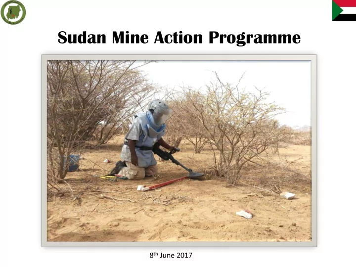
Sudan Mine Action Programme
8th June 2017
Sudan Mine Action Programme 8 th June 2017 Remaining Contamination - - PowerPoint PPT Presentation
Sudan Mine Action Programme 8 th June 2017 Remaining Contamination AP = 19 km 2 AT = 5 km 2 ERW = 4 km 2 SHA = 148 CHA = 54 27.5 km 2 20 % 103 km 2 98 km 2 Land Released Level of Contamination by Number and Size per State BY NUMBER & SIZE
8th June 2017
103 km2 27.5 km2
AP = 19 km2 AT = 5 km2 ERW = 4 km2
SHA = 148 CHA = 54
Kassala 0.06 Km2 South Kordofan West Kordofan 0.02Km2 Blue Nile Darfur
BY SIZE (KM2) OF HAZARDS
22.60 Km2 2.80 Km2 1.90 Km2 Kassala South Kordofan West Kordofan Blue Nile Darfur
BY NUMBER & SIZE (KM2) OF HAZARDS
SHA = 69 (20.10) CHA = 48 (2.10) SHA = 11 (0) CHA = 2 (0.06) SHA = 49 (1.90) CHA = 0 (0) SHA = 14 (2.60) CHA = 4 (0.20) SHA = 5 (0.02) CHA = 0 (0)
Landmine/ERW Accidents
24 13 8 11 65 92 73 28 38 36 14 11 16 21 17 15 2 1 3 16 41 22 23 35 29 33 24 45 35 26 48 61 19 35 13 32
20 40 60 80 100 2005 2006 2007 2008 2009 2010 2011 2012 2013 2014 2015 2016
Accident Injured Killed
2017 2018 2019
NGOs currently working NGOs worked on the past INGOs currently working INGOs worked on the past
beginning of programme)
Strengths Weaknesses
Opportunities Threats
2006 9,799,000 2007 17,318,000 2008 24,447,000 2009 10,730,000 2010 8,006,000 2011 4,189,000 2012 4,319,000 2013 2,567,000 2014 198,000 2015 300,000 2016 2,900,000 2017 1,532,000
Year Fund Required ($) Fund Received from Donors ($) Fund Received from Government ($) Total Fund Received ($) Fund Gap ($) 2017 31,000,000 1,532,000 2,000,000 3,532,000 27,468,000 2018 44,000,000 44,000,000 Total 75,000,000 1,532,000 2,000,000 3,532,000 71,468,000