
SLIDE 1
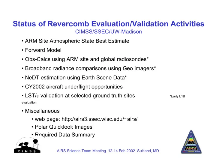
Status of Revercomb Evaluation/Validation Activities
CIMSS/SSEC/UW-Madison
- ARM Site Atmospheric State Best Estimate
- Forward Model
- Obs-Calcs using ARM site and global radiosondes*
- Broadband radiance comparisons using Geo imagers*
- NeDT estimation using Earth Scene Data*
- CY2002 aircraft underflight opportunities
- LST/e validation at selected ground truth sites
*Early L1B
evaluation
- Miscellaneous
- web page: http://airs3.ssec.wisc.edu/~airs/
- Polar Quicklook Images
- Required Data Summary
AIRS Science Team Meeting. 12-14 Feb 2002. Suitland, MD