
SLIDE 1
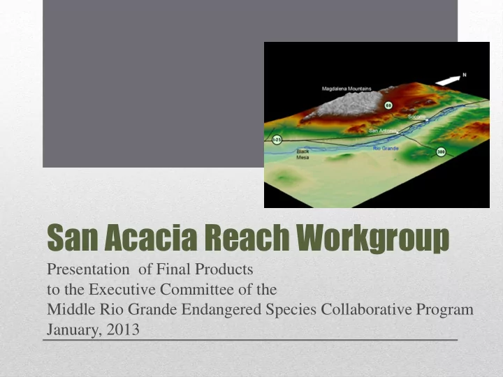
San Acacia Reach Workgroup
Presentation of Final Products to the Executive Committee of the Middle Rio Grande Endangered Species Collaborative Program January, 2013
San Acacia Reach Workgroup Presentation of Final Products to the - - PowerPoint PPT Presentation
San Acacia Reach Workgroup Presentation of Final Products to the Executive Committee of the Middle Rio Grande Endangered Species Collaborative Program January, 2013 San Acacia Diversion Dam Rhodes Property Ice Dam Flooding San Acacia to
Presentation of Final Products to the Executive Committee of the Middle Rio Grande Endangered Species Collaborative Program January, 2013
Elephant Butte Narrows – 70 miles of River; 55 miles of LFCC
San Acacia Diversion Dam Bosque del Apache NWR Rhodes Property Ice Dam Flooding
interest through further evaluation and action
to some degree.
papers and discuss San Acacia Reach Plan development.
to evaluate and prioritize recommendations from the papers to move towards long term solutions that address MRGESCP action plan goals.
management policies and laws affecting the San Acacia Reach, and science and priority research needs to inform plan formation and plan action elements.
agencies’, MRGESCP, and other stakeholders’ consideration.
Background:
through SAR
development through county
majority is private
habitat benefits
downstream users
limit water management that benefits endangered species;
if flooding endangers the public or damages property;
danger at the wildland-urban interface.
San Pedro Wildfire 1996
channel open to pass floods and move sediment;
by floodplain development.
capacity, water delivery to Elephant Butte Reservoir to meet Rio Grande Compact obligations would be impacted.
Flooded River Bars
Looking north from Escondida at active floodplain
for protection and enhancement on private lands; encourage conservation easements
address floodplain land use
Introduction:
geomorphic and ecologic function.
safe flood risk management, water delivery, and the creation and sustainability of quality endangered species habitat.
water (sediment transport capacity).
and floodplain adjustment in reach.
Sediment Plug Formation Overbank Flows Overbank Flows Flow Bosque Del Apache Plug Area BDA Levee 2008
increases the channel’s boundary roughness & the amount of sediment deposition.
channel reach between San Antonio & San Marcial.
Reservoir pool (125 feet), the river bed has lowered ~4 ft. at the San Marcial railroad bridge.
San Marcial RR Bridge-low flows San Marcial RR Bridge-peak flows
management.
damage.
deposition are critical fluvial processes to the regeneration and development of new endangered species habitat.
downstream, where there is excess transport capacity and in San Marcial area, where slope adjustment is occurring in response to the lowered reservoir pool.
Reservoir where there is limited transport capacity due to slope and width changes.
trends & future management scenarios in the reach. Consider endangered species habitat quality & sustainability, effective water delivery, & flood risk management;
floodplain, apply text practices, & report results;
to consider for effective sediment management.
1950s to deliver river flows efficiently from San Acacia Diversion Dam to Elephant Butte Reservoir; it extends about 60 miles.
using material dredged during its construction.
30 years until Elephant Butte Reservoir filled and flooded the LFCC
(~River Mile 55).
LFCC locations.
Butte Reservoir, the river being the other primary source.
among other area assets, the LFCC.
Wetland management Bosque del Apache NWR Dry River
eastern side of the valley;
the river & LFCC;
the San Acacia Reach, including the MRGCD & the Bosque del Apache NWR (supplying summer & the only winter water delivery source to the refuge);
such, & in certain sections, impacts the ability to keep low flows in river channel as aquatic habitat for the minnow and has been shown to impact groundwater availability to riparian vegetation;
LFCC have not been updated and evaluated.
to the greatest degree possible, benefits to all stakeholders.
quality, & water delivery (including efficiency, supply & demand), & sediment/water dynamics.
beneficial use to administer water rights.
right to use water based on the timing of when the water was first put to beneficial use and the amount of water put to use and consumed.
historically used, or, the consumptive use portion of the right can be severed from the property and sold separately.
water in a stream system.
relative priorities of all water rights for both surface water and groundwater in the Middle Rio Grande basin.
Trust & NRCS
Acacia Division;
Diversion dam in terms of water supply to users and water available to river;
strategies and develop steps to follow through on strategies.
spatial distribution of water.
flows in Spring but have also increased the average summer and low flows
enters the Middle Rio Grande Conservancy District (MRGCD) Socorro Division originates from Belen Division canals.
Bosque del Apache National Wildlife Refuge.
San Acacia Diversion Dam works
Stakeholders of Interest:
support agriculture and land conservation
Current Status/Efforts Underway:
private lands throughout the reach
agricultural lands from development
assessment of the local food system
Gonzales Property Conservation Easement & Restoration Socorro Farmers Market
delivery requirements to the Socorro Division of the MRGCD & what it would mean to water users within & south of the MRGCD, Endangered and sensitive species & return flows to the Rio Grande;
in very dry years;
landowners to get assistance with implementation of & payments for wildlife habitat projects.
forbearance, including: legal issues; additional hydrologic studies; a cost-benefit analysis of a forbearance program & analysis of socioeconomic impacts;
Belen & Socorro Divisions. Investigate & identify all possible causes of high water & soil salinity;
through NRCS & other agencies to implement on-farm water efficiency measures.