
SLIDE 1
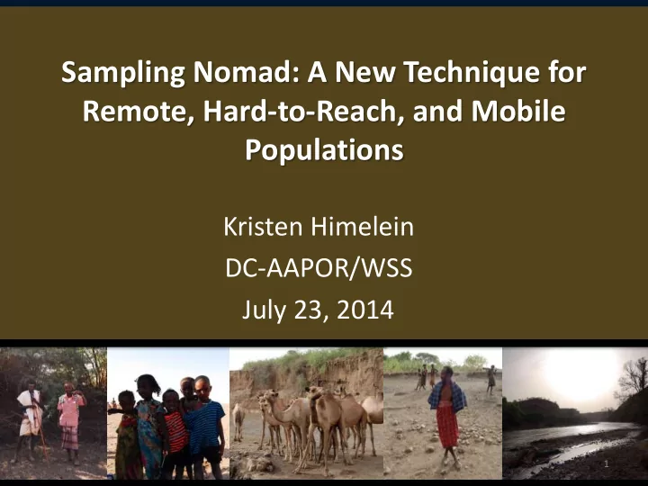
Sampling Nomad: A New Technique for Remote, Hard-to-Reach, and Mobile Populations
Kristen Himelein DC-AAPOR/WSS July 23, 2014
1
Sampling Nomad: A New Technique for Remote, Hard-to-Reach, and - - PowerPoint PPT Presentation
Sampling Nomad: A New Technique for Remote, Hard-to-Reach, and Mobile Populations Kristen Himelein DC-AAPOR/WSS July 23, 2014 1 Paper With co-authors Stephanie Eckman (Institute of Employment Research, Nuremberg, Germany) and Siobhan
1
2
3
4
5
Soumarea et al, 2007; von Hagen, 2002)
6
8
9
14
15
16
17
18
Stratum 1 Stratum 2 X r2 r1
19
Stratum 1 Stratum 2 X
20
21
Source: ASTER GDEM v2 (30 m)
22
23
24
26
27
28
Contact: Kristen Himelein khimelein@worldbank.org Stephanie Eckman stephanie.eckman@iab.de Siobhan Murray smurray@worldbank.org
29