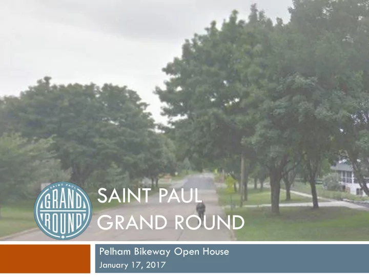

SAINT PAUL GRAND ROUND Pelham Bikeway Open House January 17, 2017
Today 1/17/17 Tonight’s objective is: Present background info about the Grand Round present the proposed installation Answer questions Get feedback (in writing)
The HWS Cleveland Legacy Delivered first speech to the City of Saint Paul in 1872 Hired by the City of Saint Paul from 1888- 1890 to develop a park and parkway plan Influenced by New York and Chicago urban planning and the City Beautiful Movement Cleveland’s Principles: •Preserve the city’s natural resources, especially the Mississippi River gorge and lakes •Keep important landscapes in public ownership •Acquire land while you can, improve in the future when funds are available
THE EARLY YEARS Mississippi River Boulevard - c.1910 Johnson Parkway- c. 1930 Mississippi River Boulevard: (1910, trail added 1929) Wheelock Parkway & Como-River Parkway (Pelham Blvd.) – no trail (1909-1929) Johnson Parkway – no trail (1930s) Shepard Road: (added trail 1980-2000) Warner Road: (added trail early 1990s)
Grand Round Master Plan_2000
Saint Paul Bicycle Plan_2015
Grand Round Design and Implementation Plan _ 2016
VIBRANT PLACES AND SPACES • Creating vibrant places and spaces as a way to encourage economic development, attract residents and visitors, and create a more livable city that appeals to everyone. • Inspired by 8 80 Cities
Planning Process Plan Review Community Engagement Weeklong Workshop District level plans • Pop-Up meetings (17) • Small area plans Open Houses (5) • Saint Paul Comprehensive Plan Community Advisory Committee (10) • Saint Paul Bicycle Plan District Council Meetings (6) • Ramsey County Bicycle and Pedestrian Plan On-line comments • Grand Round Master Plan, 2000 Regulatory Reviews Saint Paul Complete Streets Manual
Vision The Saint Paul Grand Round connects people to parks, nature, neighborhoods and businesses with scenic parkway facilities for pedestrians, bicyclists, and motorists.
Guiding Principles Promote health, safety, and comfort of all users Create a key visual element and recreation feature that places high value on neighborhoods, history, and the natural environment. Maximize sustainable practices. Designed as a contiguous system of public open space that improves quality of life and strengthens our economy.
Design Guide and Implementation Plan TABLE OF CONTENTS Introduction 1. Planning Process 2. Development of the Grand Round Parkway System 3. Design Guidelines 4. Plan Recommendations 5. Implementation 6.
Proposed Alignment Pelham Blvd Myrtle Ave Raymond Ave
Two-Way Protected Bike Lane
Green Conflict Zone Markings
Project Objectives Improve safety and level of comfort for people riding bicycles Calm traffic by narrowing travel lanes Establish the interim Grand Round
Pelham Blvd Jurisdiction: City Functional Class: Collector State Aid Route Pavement Condition Index: 35 (Incomplete data) Speed Limit: 30 mph Traffic Volume: 4,000 vehicles per day No transit on Pelham (Connections at Franklin & University)
10 Year Crash History SOURCE: MnDOT Crash Mapping Analysis Tool South of I-94 (2006-2015) Crash Diagram 21 total crashes – 4 sideswipes – 6 right angle Severity – 1 ran off road 18 property damage only – 4 head on 3 possible injury Crash Type 0 fatal – 4 parked vehicles – 1 pedestrian – 1 bicycle – 6 fixed object
10 Year Crash History SOURCE: MnDOT Crash Mapping Analysis Tool North of I-94 (2006-2015) Crash Diagram – 4 sideswipes (does not include Raymond/University) – 1 left turn 33 total crashes – 15 right angle Severity – 1 ran off road 25 property damage only – 3 head on Crash Type 5 possible injury – 6 parked vehicles 3 non-incapacitating – 2 pedestrian 0 fatal – 1 bicycle – 3 fixed object
Speed Studies Desnoyer to Beverly (2010) NB – 34 mph (39 mph 85%) SB – 35 mph (39 mph 85%) Beverly to Doane (2010) NB – 31 mph (35 mph 85%) SB – 30 mph (34 mph 85%) St. Anthony to Wabash (2011) NB – 31 mph (35 mph 85%) SB – 31 mph (35 mph 85%) Wabash to Myrtle (2011) NB – 30 mph (34 mph 85%) SB – 28 mph (34 mph 85%)
Roadway Width 36’ 44’ Roadway width changes along corridor 44’ 36’
On-Street Parking Programming Options This is an opportunity to optimize use of on- street parking in the area
Parking Occupancy Data
Proposed Cross Section – 36’
Proposed Cross Section – 44’
Tonight Review info on boards Ask one-on-one questions with staff Leave WRITTEN comments Sign-in at entry table
Next Steps Review input gathered at this meeting Attend Union Park and Saint Anthony Park Transportation Committee meetings Finalize design details Postcards and emails will be sent if additional input opportunities are scheduled
Thank You for Coming! Reuben Collins Kathleen Anglo Department of Public Works Department of Parks & Recreation 651-266-6059 651-266-6368 reuben.collins@ci.stpaul.mn.us kathleen.anglo@ci.stpaul.mn.us
Recommend
More recommend