
SLIDE 1
Safe & Sustainable Seafood
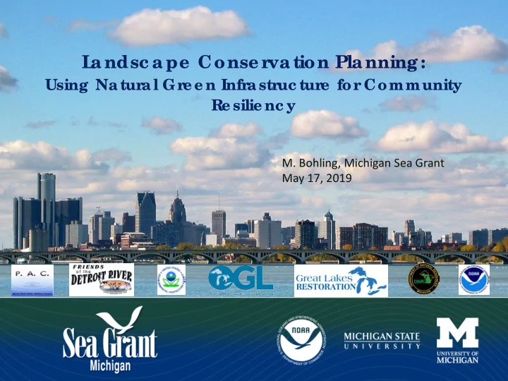
- M. Bohling, Michigan Sea Grant
May 17, 2019
L a ndsc a pe Conse r va tion Pla nning :
Using Natural Gre e n Infrastruc ture for Community Re silie nc y
Safe & Sustainable Seafood M. Bohling, Michigan Sea Grant May - - PowerPoint PPT Presentation
L a ndsc a pe Conse r va tion Pla nning : Using Natural Gre e n Infrastruc ture for Community Re silie nc y Safe & Sustainable Seafood M. Bohling, Michigan Sea Grant May 17, 2019 SEMCOG Definition of Green Infrastructure: Green
May 17, 2019
Using Natural Gre e n Infrastruc ture for Community Re silie nc y
From 1874 to 1968, 60 miles of shipping channels were excavated in the Detroit River.
More than 25% of this region has combined sewers.
The Rouge River is one of 3 Great Lakes tributaries to catch on fire – late 1960s.
Events like this led to the 1972 Clean Water Act with a lofty goal of "zero discharge" of pollutants into the nation's waters by 1985. The EPA was given authority to implement these acts as well. In 1948, oil-soaked waterfowl carcasses were delivered to the steps of Michigan’s Capitol in protest of lethal
Detroit River.
Oil saturated water
May 1, 2019 May 8, 2019
Per 1987 amendments to the Great Lakes Water Quality Agreement between the U. S. and Canada.
REMOVED 2011 10.Beach closings 11.Degradation of aesthetic 12.Added costs to agriculture or industry – Never Impaired 13.Degradation of phytoplankton and zooplankton populations – Never Impaired 14.Loss of fish and wildlife habitat
A guidance document for removing fish and wildlife related BUIs was completed 2009 and updated in May 2014.
Current Project Belle Isle Reef Belle Isle Flatwoods Milliken State Park US Steel Shoreline Wayne County Refuge Gateway Shoreline Celeron Island Detroit Upper Riverfront Parks Future Project Completed Project Blue Heron Lagoon South Fishing Pier Belle Isle Hydrologic Analysis Grassy Island Reef Hennepin Marsh Sugar Island Stony Island Lake Okonoka Fort Wayne Reef
Co mple te d pro je c t inc lude s de e p po o ls, ro c k struc ture a nd sub me rg e nt we e d b e ds to impro ve fish ha b ita t
enhancement of the 200-acre wet-mesic flatwoods community
through Lake Okonoka
fish nursery
Lakes shoreline along Belle Isle’s south coast
Lake Okonoka Habitat Restoration Project Master Plan
Proposed restoration plan