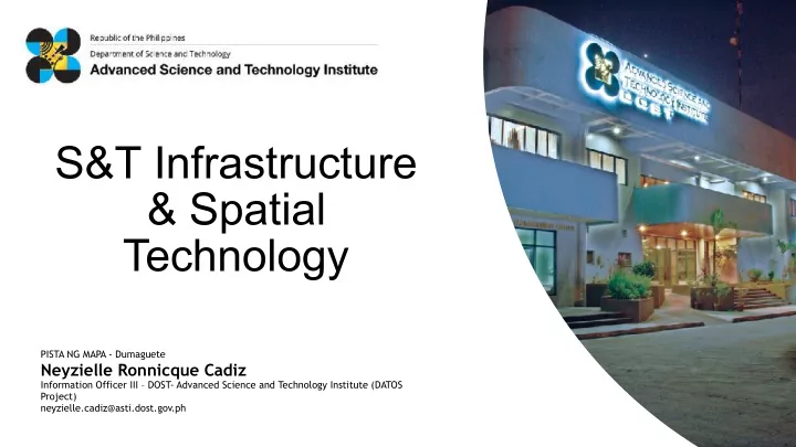

S&T Infrastructure & Spatial Technology PISTA NG MAPA - Dumaguete Neyzielle Ronnicque Cadiz Information Officer III – DOST- Advanced Science and Technology Institute (DATOS Project) neyzielle.cadiz@asti.dost.gov.ph
The Advanced Science and Technology Institute (ASTI) is a Research and Development Institute (RDI) of the Department of Science and Technology established in 1987 with a mandate to undertake scientific research and development activities in support of advancing information and communication technology, computing, and microelectronics in the country.
Data that enables scientific discovery and better understanding of our environment Data that enables evidence-based DATA policies for more relevant and responsive programs Data that enables a knowledge-based economy that fosters inclusive innovation Data for tackling information poverty Why is a country like the Philippines going into space technology?
PREGINET is the only National Research and Education Network in the Philippines, which interconnects and catalyzes research among academic, government, and research institutions. C O N N E C T
Data Archiving High- Science *Ground receiving station of satellite Performance Cloud data from multiple sources Computing (HPC) The Data Archiving service is composed of a durable storage and a web-based repository that contain scientific, environmental, and geospatial datasets gathered from various researches. S T O R E
3, 456 logical cores or 216 gaming laptops 20, 352 cuda cores or 1,272 gaming laptops 1,488 gaming laptops 62.4 teraflops or 1.25 trillion scientific calculators Data Archiving High- Science Performance Cloud Computing (HPC) 2.7 petabytes of storage The HPC is for processing massive amounts of data 2,698 1TB that require high-speed calculations and powerful hard drives computing . The Science Cloud provides cloud-based virtual machines (VM) for researchers. C O M P U T E
The Remote Sensing and Data Science: DATOS Help Desk of DOST-ASTI uses the agency’s High Performance Computing (HPC) facility in processing satellite images for various disaster- related and agricultural mapping outputs. The DATOS Project capitalizes on the current advancements of computing technology and applies it in the fields of • Geographic Information Systems (GIS) • Remote Sensing (RS) • Artificial Intelligence (AI) • Data Science A N A L Y Z E
Flood Mapping Feature Detection Using AI Multitemporal Object Detection Using RADAR A P P L I C A T I O N S
Flood Mapping Flood Situation Mapping Multi-temporal SAR Imagery • • Sentinel-1A, 1B A P P L I C A T I O N S
Feature Detection Using AI Tree Detection Mango Trees • VHR Imagery • 0.5-meter resolution A P P L I C A T I O N S
Feature Detection Using AI Tree Detection Coconut Trees • VHR Imagery • 0.5-meter resolution A P P L I C A T I O N S
Feature Detection Using AI Ship Detection • VHR Optical Imagery • Radar Imagery A P P L I C A T I O N S
Feature Detection Using AI Road Network Prediction • Planet Dove Imagery • 3-meter resolution A P P L I C A T I O N S
Feature Detection Using AI Damage Detection • VHR Optical Imagery A P P L I C A T I O N S
Feature Detection Using AI Built-Up Areas Mapping • Planet Dove Imagery • 3-meter resolution A P P L I C A T I O N S
Feature Detection Using AI Land Cover Mapping • Landsat Imagery A P P L I C A T I O N S
Multitemporal Object Detection Using RADAR Crop Mapping Sugar Cane Mapping • Multi-temporal SAR Imagery • Sentinel-1A, 1B A P P L I C A T I O N S
Other Applications Drought Monitoring • Multi-temporal Optical Imagery • Landsat 8 A P P L I C A T I O N S
Other Applications Cloud Cover Mapping • Multi-temporal Optical Imagery • Landsat 8 A P P L I C A T I O N S
Other Applications Urban Sprawl • Multi-temporal Optical Imagery • Landsat 8 A P P L I C A T I O N S
DATA A P P L I C A T I O N S
FOR QUERIES: CHECK US OUT: CONTACT US: NIKKI Website: https://asti.dost.gov.ph/ neyzielle.cadiz@dost.gov.ph cadizneyzielle@gmail.com DOST-ASTI: FACEBOOK PAGES corpcomm@asti.dost.gov.ph DOST-ASTI: https://www.facebook.com/DOSTASTI Trunkline: DATOS Project: DATOS Project: https://www.facebook.com/ 429-8500 loc 1310 datos@asti.dost.gov.ph DATOSproject/ PEDRO Center: PEDRO Center: https://www.facebook.com/PEDROcenter pedro@asti.dost.gov.ph COARE: #ASTIg https://www.facebook.com/COARE COARE PREGINET: gridops@asti.dost.gov.ph https://www.facebook.com/PREGINET
Recommend
More recommend