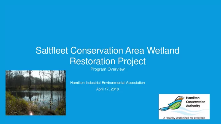

Saltfleet Conservation Area Wetland Restoration Project Program Overview Hamilton Industrial Environmental Association April 17, 2019
PRESENTATION OUTLINE 2011 Stoney/Battlefield Creek Environmental Assessment Watershed Restoration Program Overview Planning/Legislative Framework Existing Floodplain and Erosion Issues Environmental Assessment Process/Outcomes What Could it Look Like What we want it to look like.
4
HAMILTON CONSERVATION AUTHORITY WHO WE ARE? We are a major land owner within our watershed area in that we own or manage 4,484 hectares (11,079 acres) of land which represents 10% of our watershed. These landholdings include: These lands are locally, provincially and in some cases, internationally significant and include features such as forests, prairie, wetlands, watercourses, karst, Lake Ontario shoreline and the Niagara Escarpment. 5
6
2011 STONEY/BATTLEFIELD CREEK ENVIRONMENTAL ASSESSMENT This study was initiated by Hamilton Conservation Authority as numerous complaints and concerns had been provided to Hamilton Conservation Authority and the City of Hamilton regarding flooding along portions of the watercourses and localized creek erosion. Preferred Alternatives were identified. Short-term flood and erosion protection alternatives considered to be implemented in the 0 to 15 year timeframe, medium and long-term management practices (15 to 25 years, 25 years +) where determined.
2011 STONEY/BATTLEFIELD CREEK ENVIRONMENTAL ASSESSMENT Replacement of existing bank protection along both banks (with regrading if constraints allow). • Creation of pool features for fisheries benefit. Preliminary cost estimate of $770,000. Localized realignment and bank protection to protect property line on east bank. Regrading of area of slope instability on east bank. Creation of pool features for fisheries benefit. Preliminary cost estimate of $450,000 Replacement of existing bank protection along both banks (with regrading if constraints allow). Creation of pool features for fisheries benefit. Preliminary cost estimate of $165,000. Replacement of existing bank protection along both banks (with regrading if constraints allow). Creation of pool features for fisheries benefit. Preliminary cost estimate of $979,000.
2011 STONEY/BATTLEFIELD CREEK ENVIRONMENTAL ASSESSMENT Ultimately, the 2011 Stoney/Battlefieled Creek Environmental Assessment was not implemented Issues Cost Private Land Issues
A DIFFERENT WAY TO SOLVE A PROBLEM
EAST ESCARPMENT CONSERVATION AREA WATERSHED RESTORATION PROGRAM Stoney Creek Watershed Area – 2,070 hectares (5,116 acres) • Of that, 1,619 hectares (4,000 acres) above Niagara Escarpment Battlefield Creek Watershed Area – 784 hectares (1,936 acres) • Of that, 500 hectares (1,236 acres) above Escarpment . Total area of both watersheds above Niagara Escarpment is 2,119 hectares (5,236 acres) The watershed area above the Niagara Escarpment represents 74.24% of total watershed areas
EAST ESCARPMENT CONSERVATION AREA WATERSHED RESTORATION PROGRAM Goal New conservation area in the east end of the City of Hamilton, specifically the Upper Stoney Creek and Upper Battlefield Creek watersheds to provide natural hazard attenuation, natural heritage enhancements and recreation opportunities. Objectives Utilize the floodplain areas to retain water to provide flood attenuation. Enhance and enlarge existing wetland areas and create new wetland areas to provide enhanced wetland function to reduce the impacts of high water events and provide water to area watercourses during low flow periods. Restore natural features and functions of the watercourses in the area. Restore, enhance and enlarge the natural heritage features associated with the floodplains, wetlands and watercourses of the area. Provide linkages within and between conservation area lands by utilizing the DoFascoTrail Enhance and create passive recreational opportunities along the DoFascoTrail.
PLANNING/LEGISLATIVE FRAMEWORK
PLANNING/LEGISLATIVE FRAMEWORK
EXISTING FLOODPLAIN AND EROSION SITES
EXISTING FLOODPLAIN AND EROSION SITES
EXISTING FLOODPLAIN AND EROSION SITES
EXISTING FLOODPLAIN AND EROSION SITES
ENVIRONMENTAL ASSESSMENT PROCESS/OUTCOMES Address Downstream Flood and Erosion Issues
ENVIRONMENTAL ASSESSMENT PROCESS/OUTCOMES Phase 1 – alternative erosion and flood control storage locations
ENVIRONMENTAL ASSESSMENT PROCESS/OUTCOMES
ENVIRONMENTAL ASSESSMENT PROCESS/OUTCOMES
ENVIRONMENTAL ASSESSMENT PROCESS/OUTCOMES
ENVIRONMENTAL ASSESSMENT PROCESS/OUTCOMES
ENVIRONMENTAL ASSESSMENT PROCESS/OUTCOMES
ENVIRONMENTAL ASSESSMENT PROCESS/OUTCOMES
ENVIRONMENTAL ASSESSMENT PROCESS/OUTCOMES
LAND ACQUISTION
DESIGN OPTIONS – WHAT COULD IT LOOK LIKE
• Design tender for first wetland has been awarded. • Intent is for the wetland to look and function as a natural wetland with minimal, if any manipulation. • Intent is to mimic existing wetland features on and adjacent to the new wetland sites
NEXT STEPS Continued Land Acquisition Detailed Design for first wetland Construction 2020/2021
Thank you.
Recommend
More recommend