SLIDE 8 Central Arizona Project Trail
WHAT IS THE CAP TRAIL?
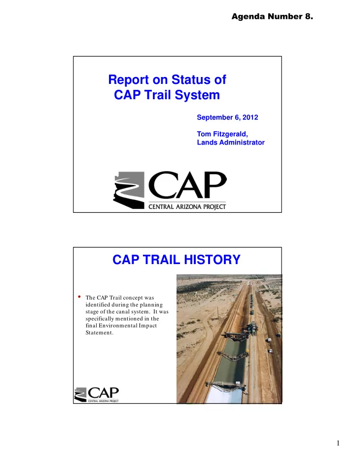
In addition to a reliable supply of Colorado River water, the Central Arizona Project (CAP) canal system afgords another potential benefjt to the state of Arizona – a long distance, non-motorized, multi-use recreational trail corridor. The trail was considered before any feature of the canal was built and was included in the environmental study that looked at the potential impact the CAP system would have on the environment and wildlife. This study, not only ensured compliance with state and federal regulations to protect native fjsh, wildlife and plants, but it also considered the opportunity for a recreational trail to be constructed along the entire 336 mile length of the canal. Once completed, the Central Arizona Project Trail would be the second longest trail in Arizona behind the Arizona Trail.
HOW DOES THE TRAIL GET BUILT?
Cooperation and partnerships among municipal, county and tribal agencies will determine the outcome of the trail. There are more than 30 organizations that will be involved in getting the trail constructed. Each will sponsor a portion of trail that runs through their jurisdiction after entering into a recreation agreement with the Bureau of Reclamation. In turn, these agencies may enter into third party agreements with businesses, homeowner associations or contractors to share the costs of the construction and maintenance of the
- trail. To date, several strong partnerships have been forged to help create approximately 90 miles worth of trails that have been formally
improved or are currently being constructed. There are an additional 100 miles that are currently used, but have not been formally
- improved. Construction of the trail will vary signifjcantly ranging everywhere from a highly improved pathway with asphalt, lighting,
parking, facilities, trailheads, and landscaping in many urban areas to a basic graded dirt trail or native soil in more rural areas. Grade separated crossings under major roadways and a pedestrian bridge over Interstate 17 are recent examples of successful partnership projects.
19th AVENUE BRIDGE
The City of Phoenix 19th Ave Bridge over the CAP canal was designed with the CAP Trail in mind and provides a lighted cross-under for trail users. This portion of the trail provides access to the newly designated Phoenix Sonoran Preserve with over 13 miles of upland desert trails.
DEEM HILLS RECREATION AREA
The City of Phoenix Deem Hills Rec- reation Area makes up almost 1,000 acres of Arizona Upland vegeta-
- tion. Basalt fmows gave the hills their
characteristic black rock formations. Deem Hills ofgers an adjacent city park and over 13 miles of trails on 6 major
- sections. The CAP Trail directly con-
nects to the recreation area’s Circum- ference Trail.
REACH 11 RECREATION AREA
The City of Phoenix Reach 11 Recreation Area is a 1,500-acre park providing over 18 miles of improved trails that meander through a unique xeroriparian desert land- scape that is abundant with native vegetation and wildlife. The park runs east and west along the north side of the CAP canal and is built on CAP owned land. It also is home to the largest soccer complex of its kind in Arizona and one of the largest in the western United States; the Ari- zona Diamondbacks Field of Dreams providing accessible baseball fjelds for youth with mobility devices; and the Arizona Horse Lovers Park ofger- ing four equestrian arenas and ac- cess to several equestrian trails and the CAP trail.
HORIZON PARK
The City of Scottsdale Horizon Park is a 24- acre recreational park with playgrounds, several sports fjelds and a community center. It also ofgers access to the CAP Trail by way of a pedestrian bridge over the canal.
NATIONAL RECREATIONAL TRAILS DESIGNATION
http://www.americantrails.org/nationalrecreationtrails
In June of 2003, the CAP trail was designated as a National Recreational Trail (NRT). The National Trail System Act of 1968 authorized creation of a national trail system comprised of National Recreation Trails, National Scenic Trails and National Historic Trails. While National Scenic Trails and National Historic Trails may only be designated by an act of Congress, National Recreation Trails may be designated by the Secretary of Interior or the Secretary of Agriculture to recognize exemplary trails of local and regional signifjcance. The National Recreation Trails Program supports designated NRT’s with an array of benefjts, including promotion, technical assistance, networking and access to funding. Its goal is to promote the use and care of existing trails and stimulate the development of new trails to create a national network of trails and realize the vision of Trails for All Americans. NRT provides for numerous outdoor recreation activities in a variety of urban, rural, and remote areas. Over 1,000 trails in all 50 states, available for public use and ranging from less than a mile to 485 miles in length, have been designated as NRTs on federal, state, municipal, and privately owned
- lands. As a result of this designation, many agencies have included the CAP Trail in their Open Space, Trails,
General and Comprehensive Planning documents making it much easier to form productive partnerships between CAP and these agencies.
AMERICAN TRAILS ORGANIZATION
http://www.americantrails.org
The American Trails organization provides support for the National Recreational Trails program. American Trails is the only national nonprofjt organization working on behalf of all trail interests to create and protect America’s interconnected network of trails. Their mission is to enrich the quality of life for all people and the sustainable development of communities by advancing and promoting the development, preservation and enjoyment of diverse, high quality trails and
- greenways. In 2013, CAP, along with several other Arizona entities, will host the American Trails
International Trails Symposium with the theme of Trails Lead Everywhere. This Symposium’s theme celebrates the remarkable role that trails continue to play worldwide.
I-17 PEDESTRIAN BRIDGE
The I-17 pedestrian bridge scheduled to be completed by the end of 2012 will provide a connection for portions of existing sections
that runs from the Deem Hills Recreation Area to the Phoenix Sonoran Preserve.
WHY IS THE CAP SYSTEM FENCED?
The CAP canal operation and maintenance roads are closed to the public to protect the safety of the public and wildlife. The canal is approximately 80 feet wide, almost 17 feet deep and can move up to 3,200 cubic feet of water per second. The system is regularly used by local law enforcement and emergency response teams to train for swift water rescue.
WHAT PART OF THE LAND IS FOR THE TRAIL?
Although the actual canal is fenced, approximately 20 feet of land outside of the security fence was set on the right side (generally north or west side) of the canal in La Paz, Maricopa and Pinal counties. In Pima County an area on the left side (generally east side) of the canal was established for the trail instead.
www.CentralArizonaProject.com