
SLIDE 1
Reducing Flood Risk with Natural Water Retention Measures and Drain Blocking in Drained Blanket Bogs
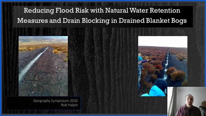
Geography Symposium 2020 Rob Halpin
Reducing Flood Risk with Natural Water Retention Measures and Drain - - PowerPoint PPT Presentation
Reducing Flood Risk with Natural Water Retention Measures and Drain Blocking in Drained Blanket Bogs Geography Symposium 2020 Rob Halpin Human Activities and Flooding Land Use Changes Impacts Increases in stocking densities Higher crop
Geography Symposium 2020 Rob Halpin
lank nket bog
nsle ley(1939) to describe ibe peat terrain n whic ich h conf
he unde nderly lying ing topo
pt on n very steep p slope lopes.
brot
ic peatla land nds whic hich h are depe pende ndent on n precipi ipitatio ion n fo for water and nd nut utrie ient supp pply
liant on n grou
ndwater fo for water and nd nutrie ients)
nket peat is also usua uall lly cons nsid idered d to
hydr drolog
icall lly discon
nected from
the unde nderly lying ng mine neral l layer making ng bog
ighly hly acidi idic (pH pH <4). ). (Fens tend nd to
less acidi idic and nd base rich) h)
lopm pment of f bla lank nket bog
d by clim imatic ic fa factor
h as coo
l summers and nd hig igh h rain infall ll (> 1,250 mm)
Source: Connolly et al, 2007
ble
d cracki king ng and nd the he formation
pes, below
urface
uced d cove
pecies which h are depe pende ndent on n a high h water tabl ble.
duced d and nd sur urface roug
hness decreases, leadi ding ng to
ncreased d leve vels of ove verland nd flow
nd faster delive very y of water int nto
hanne nnels
urfaces becom
posed d to com
y raindr ndrop
uction
n inf nfiltration
nd inc ncreases overland nd flow
uring ng signi nificant nt rainfall event nts.
ult, the formation
ully y networ
ks can n inc ncrease draina nage dens nsity, and nd channe nnel conn
vity, leading ng to highe her catchm hment dr draina nage efficienc ncy, flashi hier hydr drog
phs and nd highe her stor
ks
Location Discharge (m3/s) Upper Stream 0.00803678 Lower Stream 0.009079433
Topographic Survey Flume me installed Storage areas calculated Peat depths Slope Map