
SLIDE 1
Laura Gaitan Department of Geography Memorial University of Newfoundland
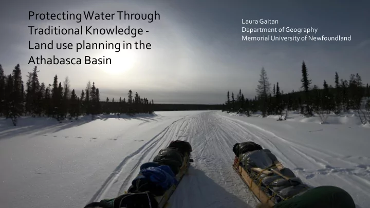
Protecting Water Through Laura Gaitan Traditional Knowledge - - - PowerPoint PPT Presentation
Protecting Water Through Laura Gaitan Traditional Knowledge - Department of Geography Memorial University of Newfoundland Land use planning in the Athabasca Basin Saskatchewan Provincial Base Map Native Lands Reserves Collect traditional
Laura Gaitan Department of Geography Memorial University of Newfoundland
Saskatchewan Provincial Base Map Native Lands Reserves
Ice fishing; culture camp; NWT; 2018 Collect traditional land use & occupancy information from Elder interviews in order to:
The knowledge gathered will be included in the future Athabasca Land Use Plan; and specifically used to help identify core areas in need of protection and conservation.
Community training session, Fond du Lac FN.
The interviews followed a semi-structured format using a standardized interview guide designed to provide a consistent, but flexible, framework for soliciting and recording responses. Map data was captured and managed using a direct-to-digital process involving mapping on-screen, with Google Earth imagery as a digital base and geo-referenced at a 1:50,000 scale or better.
Methods were developed with the help of Firelight Group
Interview, Black Lake FN. Interview, Hatchet Lake FN.
"When [we] start thinking about the water [we] take it for granted; we probably got one cleanest water [sources] in the world, and it's not going to be like that forever, not necessarily." "I know some people don’t drink water from the lake here. Me? I don’t care. If I want to drink I just take it. Yeah, it is. Since I was a kid we get water from there.”