
SLIDE 1
Content Content
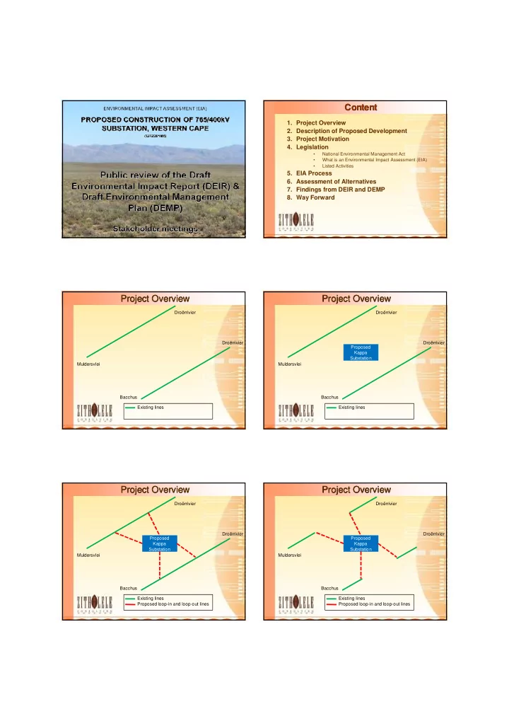
- 1. Project Overview
- 2. Description of Proposed Development
- 3. Project Motivation
- 4. Legislation
- National Environmental Management Act
- What is an Environmental Impact Assessment (EIA)
- Listed Activities
- 5. EIA Process
- 6. Assessment of Alternatives
- 7. Findings from DEIR and DEMP
- 8. Way Forward
Project Overview Project Overview
Existing lines Droërrivier Muldersvlei Bacchus Droërrivier
Project Overview Project Overview
Proposed Kappa Substation Existing lines Droërrivier Muldersvlei Bacchus Droërrivier
Project Overview Project Overview
Proposed Kappa Substation Existing lines Proposed loop-in and loop-out lines Droërrivier Muldersvlei Bacchus Droërrivier
Project Overview Project Overview
Proposed Kappa Substation Existing lines Proposed loop-in and loop-out lines Droërrivier Muldersvlei Bacchus Droërrivier