
SLIDE 1
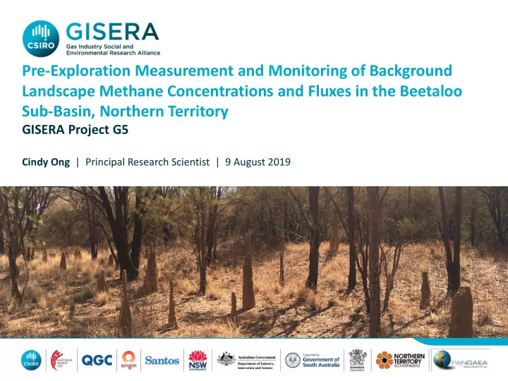
Pre-Exploration Measurement and Monitoring of Background Landscape Methane Concentrations and Fluxes in the Beetaloo Sub-Basin, Northern Territory
GISERA Project G5
Cindy Ong | Principal Research Scientist | 9 August 2019
Pre-Exploration Measurement and Monitoring of Background Landscape - - PowerPoint PPT Presentation
Pre-Exploration Measurement and Monitoring of Background Landscape Methane Concentrations and Fluxes in the Beetaloo Sub-Basin, Northern Territory GISERA Project G5 Cindy Ong | Principal Research Scientist | 9 August 2019 Background
Cindy Ong | Principal Research Scientist | 9 August 2019
– “baseline monitoring of methane concentrations be undertaken for at
GISERA G5 | 9 August 2019 | 2
Presentation name | Date | 3
sources
4
http://www.picarro.com/products_solutions/trace_gas_analyzers/co_co2_ch4_h2o http://www.flir.com.au/ogi/methane/ http://www.lgrinc.com/analyzers/overview.php?prodid=23&type=gas https://www.bruker.com/products/ infrared-near-infrared-and-raman- spectroscopy/remote-sensing/hi- 90/overview.html
–
Immediate deployment & with temporal acquisition allows accurate monitoring of concentrations & fluxes;
–
Capacity to travel over many thousands of kilometres => broad-scale measurement programs;
–
Allows detailed surveys of areas to be conducted to locate and identify sources;
–
Emission rate estimates possible when combined with local meteorological data and a simple plume dispersion model or tracer gas;
–
limited to trafficable roads and tracks;
–
surveys are periodic, not continuous – may not capture long term variations.
GISERA G5| 31 January 2020| 5
7 GISERA G5| 31 January 2020|
8 GISERA G5| 31 January 2020|
GISERA G5| 31 January 2020| 9
Source Spatial Scale S < 1m M 10-30 m L > 250 m Individual Concentration Cumulative Concentration Temporal Variation Location Quantification method Livestock (cattle) Small Small Large NA Dispersed Estimates using emission factors well established Fires Large NA Large Dry Unknown Total GHG inferred from fires mapped from satellite – CH4 not discriminated Termites Small Small Unknown Wet Dispersed Not well understood Wetlands Medium Unknown Unknown Wet Not all well characterised Not well understood Natural geological seeps Small Small Unknown Unknown Unknown, not well characterised Development required for identification & location Abandoned/old petroleum & mineral, water bores Small Small-medium Unknown Continuous Some knowledge As above; Monitoring methods established but not continuous Future: Onshore
Small Small Unknown Continuous Well known Monitoring methods established but not continuous Future: Oshore operating infrastructure Medium Medium - large Unknown Continuous Well known Development required Waste treatment facility Medium Small -Medium NA Well known Methods well developed
GISERA G5| 31 January 2020| 10
– 1st campaign, dry season: total ~5,500 km between 29th July – 10th August
– 2nd campaign, fire season: ~5,300 km between 6th – 15th November 2018; – 3rd campaign, wet season: ~4,050 km between 30th January - 5th February
GISERA G5 | 13 January 2019 | 11
Campaign 1 (LGR) Campaign 2 (LGR) Campaign 3 (LGR) Campaign 1 (PICARRO) Campaign 2 (PICARRO) Campaign 3 (PICARRO) Average (ppm) 1.839 1.827 1.808 1.817 1.811 1.796 Median (ppm) 1.835 1.826 1.807 1.813 1.811 1.795 Standard deviation 0.019 0.013 0.017 0.018 0.012 0.019 Maximum (ppm) 2.604 2.206 2.920 2.310 2.094 2.297
GISERA G5 | 9 August 2019 | 12
Average, median, standard deviation and maximum CH4 concentration values measured during the three mobile survey campaigns August 2018 November 2018 February 2019 1.826 1.820 1.798 Methane concentration measured at Cape Grim during survey periods
Presentation name | 9 August 2019 | 13
Stakeholder Roundtable Group Meeting| 31 January 2020| 14
Average emission factors 54.75-73.00 kg CH4 per beast per yr-1 Charmley et al. (2016) . The average of this, 63.88 kg yr-1 was used for the estimation
15 GISERA G5 | 9 August 2019 |
GISERA G5| 31 January 2020| 16
GISERA G5| 31 January 2020| 17
Presentation name | 13 January 2017 | 18
GISERA G5| 31 January 2020| 19
GISERA G5| 31 January 2020| 20 Site Surface Description Methane Emission Flux (mg CH4 m-2 day-
1)
Grassed edge of track – damp soil
In free water on the grassed verge
Dry ground without vegetation
Dry ground without vegetation 0.5 Grassed edge of a large stagnant water body; Location 1 98.0 Grassed edge of a large stagnant water body; Location 2 5.1 Grassed edge of a large stagnant water body; Location 3 23.3 Stagnant water body – in the water 113
GISERA G5| 31 January 2020| 21
GISERA G5| 31 January 2020| 22
Birdum Creek West Beetaloo 1
GISERA G5| 31 January 2020| 23
GISERA G5| 31 January 2020| 24
–
–
25 GISERA G5| 31 January 2020|
–
–
–
–
–
26 GISERA G5| 31 January 2020|
– Chris Moss and Dave Armstrong (Pangaea Resources); – Robert Wear (Origin Energy); – Trevor Edwards (Santos);
– NT Department of Primary Industry and Resources;
– Stuart Day, Bruce Maney, Mederic Mainson, Matthew Myers and Dave
GISERA G5 | 9 August 2019 | 27
Cindy Ong Principal Research Scientist t +61 8 6436 8677 e cindy.ong@csiro.au w gisera.org.au