
SLIDE 1
Planning.Maryland.gov
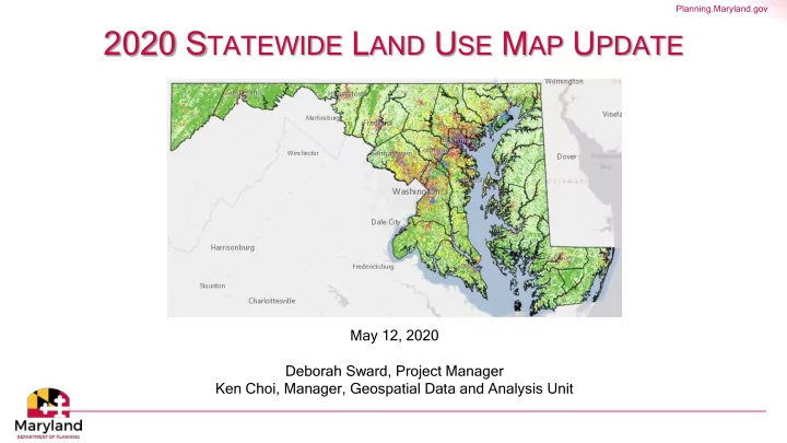
2020 STATEWIDE LAND USE MAP UPDATE
May 12, 2020 Deborah Sward, Project Manager Ken Choi, Manager, Geospatial Data and Analysis Unit
Planning.Maryland.gov Planning.Maryland.gov E XAMPLE U SES THE L AND - - PowerPoint PPT Presentation
Planning.Maryland.gov 2020 S TATEWIDE L AND U SE M AP U PDATE May 12, 2020 Deborah Sward, Project Manager Ken Choi, Manager, Geospatial Data and Analysis Unit Planning.Maryland.gov M EETING P URPOSE Land use product overview 2020 update
Planning.Maryland.gov
May 12, 2020 Deborah Sward, Project Manager Ken Choi, Manager, Geospatial Data and Analysis Unit
Planning.Maryland.gov
Planning.Maryland.gov
Webpage and Documentation: https://planning.maryland.gov/Pages/OurWork/landuse.aspx Data Download: https://planning.maryland.gov/Pages/OurProducts/DownloadFiles.aspx
Planning.Maryland.gov
Developed Land Remaining Undeveloped (Resource) Land
Very Low Density Residential (< 0.2 du/ac)
Agriculture Forest Water Wetland Barren Low Density Residential (0.2-2 du/ac) Medium Density Residential (2-8 du/ac) High Density Residential (8+ du/ac) Commercial Industrial Institutional Other Developed Lands
For definitions see: https://planning.maryland.gov/Pages/OurWork/landuse.aspx
Planning.Maryland.gov
Planning.Maryland.gov
Planning Activity Use
Planning.Maryland.gov
Source: Maryland Department of Planning, 2010 Land Use Land Cover Source: Chesapeake Conservancy, 2013/2014 Land Cover
Planning.Maryland.gov
Planning.Maryland.gov
Urban (Developed) Land Uses Remaining Undeveloped (Resource) Land Very Low Density Residential (< 0.2 du/ac)
Agriculture Forest Water Wetland Barren Low Density Residential (0.2-2 du/ac) Medium Density Residential (2-8 du/ac) High Density Residential (8+ du/ac) Commercial Industrial Institutional Other Developed Lands
Remove sub- classifications related to land cover or undeveloped land use
Planning.Maryland.gov
Urban (Developed) Land Uses Remaining Undeveloped (Resource) Land Very Low Density Residential (< 0.2 du/ac)
Agriculture Forest Water Wetland Barren Low Density Residential (0.2-2 du/ac) Medium Density Residential (2-8 du/ac) High Density Residential (8+ du/ac) Commercial Industrial Institutional Other Developed Lands
Possibly expand transportation classification to include additional roads. Possibly classify entire right-of-way as transportation
Planning.Maryland.gov
Urban (Developed) Land Uses Remaining Undeveloped (Resource) Land Very Low Density Residential (< 0.2 du/ac) Undeveloped Resource Land Low Density Residential (0.2-2 du/ac) Medium Density Residential (2-8 du/ac) High Density Residential (8+ du/ac) Commercial Industrial Institutional Other Developed Lands
Planning.Maryland.gov
Note: Image shows hypothetical example. Actual land uses may differ.
Planning.Maryland.gov
Large parcels only partially in use Helps distinguish between areas assessed for vs. in use
Planning.Maryland.gov
Note: Image shows hypothetical example. Actual land uses may differ.
Planning.Maryland.gov
Note: Images show hypothetical
generalization scheme may differ.
Planning.Maryland.gov
Land Use Generalization Scheme (Subject to Revision)
family
government offices, etc.) Capture individual instances
5 clustered housing units or five acres Other developed uses (commercial, industrial, institutional) TBD
Planning.Maryland.gov
Planning.Maryland.gov
Planning.Maryland.gov