
SLIDE 1
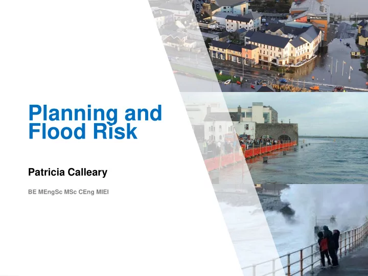
Planning and Flood Risk
Patricia Calleary
BE MEngSc MSc CEng MIEI
Planning and Flood Risk Patricia Calleary BE MEngSc MSc CEng MIEI - - PowerPoint PPT Presentation
Planning and Flood Risk Patricia Calleary BE MEngSc MSc CEng MIEI After the Beast from the East Patricia Calleary Flood Risk and Planning Flooding in Ireland Floods are a natural and inevitable part of life in Ireland that pose a
Patricia Calleary
BE MEngSc MSc CEng MIEI
» Floods are a natural and inevitable part of life in Ireland that pose a risk to human life and well-being, property and the environment. » It is likely that the effects of climate change will make flooding more frequent and severe in the future. » Past - structural or engineered flood protection measures in response to flood events » Current – Flood Management Approach - proactive
» Fluvial
» Rivers, Streams , Drainage ditches
» Coastal
» Coastal Zones (harbours, quays, coastline areas, estuaries
» Groundwater
» Turloughs / Seasonal lakes, Springs / Karst Features, Groundwater Table
» Pluvial
» Ponding of overland flow from intense rainfall
» Urban Drainage
» Stormwater Drainage
Crossmolina, Co.Mayo – December 2015
Crossmolina, Co.Mayo – July 2016
» Structural Measures » Flood level reduction
» Conveyance measures widening, regrading removal of constrictions » Diversions » On line and off line storage, controlled storage - to attenuation the Flood Peak
» Flood Defence
» Permanent Structures – Walls and embankments » Demountable Structures » Tidal barrage
» Non Structural Measures » Planning control – (Flood Risk Management Planning Guidelines) » Land use management - » Green Infrastructure - Slowing the flood through provision of increased catchment storage » Catchment wide policy integrated with the WFD » Difficult to measure success » Conflict with agricultural enterprise » Flood Response Planning
Patricia Calleary
EU Directive on the assessment and management of flood risks [2007/60/EC] – the ‘Floods Directive’ required: » Undertake a Preliminary Flood Risk Assessment (PFRA) by 22nd December 2011, to identify areas of existing or foreseeable future potentially significant flood risk (referred to as ‘Areas for Further Assessment’ or ‘AFA’s) » Prepare flood hazard and risk maps for the AFAs by 22nd December 2013 » Prepare flood risk management plans by 22nd December 2015, setting
prioritised set of measures for achieving those objectives Transposed into Irish Law by European Communities (Assessment and Management of Flood risks) Regulations 2010. SI 122/2010
» NATIONAL ‘CFRAM’ PROGRAMME » 6 Contract Areas » Catchment-Based Flood Risk Assessment and Management (CFRAM) Studies » Key Outputs
» 300 Areas of Further Assessments (AFAs) » More information on cfram.ie
‘PFRA’ Maps – Predictive maps of lands estimated to be flood prone in the 300 areas around Ireland. » Broadly Indicative of Flood Prone Areas » Acceptable Accuracy for PFRA (‘Available & Readily- Derivable’) » Not Precise Flood Extent Maps » Not Always Locally Accurate » Not Suitable for Local / Site-Level Decisions » Published for PFRA Consultation
OPW – CFRAM Study Interactive Mapping
maps.opw.ie/floodplans/fhr_map/en
Flood Risk Management Plans
The Planning System and Flood Risk Management
Flood Risk = Likelihood (probability) of Flooding x Consequences of Flooding
Source-Pathway-Receptor Model
Staged Approach to Flood Risk Assessment
» Stage 1 – Flood Risk identification - any flooding or surface water management issues » Stage 2 – Initial Flood Risk assessment (FRA) -scope the extent
» Stage 3 – Detailed Flood Risk assessment – provide quantitative appraisal of potential flood risk as a result of a development including mitigation » Appendix A contains a checklist of content of each stage of FRA and sources of information as well as required outputs
» Consider Design Standards for Storm Water Drainage Capacity » Consider On-Site Storm Water Retention » SuDS » Permeable Paving » ‘Green Infrastructure’
» Adopt a precautionary approach to allow for climate change e.g. raise building heights
Green Schools – Climate Change Entry
Flow Diagram – Fig. 3.2 Guidelines
Vulnerability and Flood Zones
» Vulnerability classification (Table 3.1). Residential (dwelling houses and student residences) classified as ‘highly vulnerable development’ Retail – Less Vulnerable, Amenity Open Space – Water Compatible
Chapter 5 – Flooding and Development Management
Flood Risk Assessment (FRA) – Site Specific
» Plans showing the site and development proposal and its relationship with watercourses and structures which may influence local hydraulics » Surveys of site levels and cross-sections relating relevant development levels to sources of flooding and likely flood water levels » Potential sources of flooding, Flood alleviation measures, potential impact of flooding on the site; reduce risk (layout and form), surface water management proposals, mitigation, residual risk and management of risks
» Flood Hazard
flooding
» Exposure
» Vulnerability
» Performance
the flood hazard, the exposure, or the vulnerability
» Flood Impact
Chapter 5 – Flooding and Development Management
» PA / Board may consider granting permission subject to conditions which ensure the Justification test is satisfied and residual risk dealt with. » Conditions should not normally require major drainage or flood related structural work. » E.g. of appropriate conditions:
defences (e.g. swales, earth bunds)
developer/management company to ensure installation,
and emergency plan
Chapter 5 – Flooding and Development Management
Minor Development Proposals » Minor Proposals e.g. ‘extensions’ (houses or commercial) and ‘change of use’ are unlikely to raise significant flood issue and the Justification test will not normally apply. » A commensurate assessment of the risks of flooding should accompany planning applications nonetheless.
» Flood Hydrology is an inexact science and extremely dependent
» Flood Flow Estimation
» Gauged and ungauged methods » Statistical methods » Rainfall Runoff methods » Hydraulic Modelling
» Flood Level Estimation
» Prediction error associated with flood estimation using a mathematical hydraulic model or extrapolation from a nearby gauge
» Climate Change and Environmental Change
Computerised Fluid Dynamic (CFD) Modelling
1-D Model 2-D Model 3-D Model
OPW – National Flood Hazard Mapping website : www.floodmaps.ie
» Implementation of the Floods Directive » The establishment of a sole agency (OPW) responsible For Flood Risk Management » The Flood Risk Management Planning Guidelines in Planning Control » Flood Study’s Update program » CFRAM Studies » Improved flood defence technologies National Planning Framework - Ensuring flood risk management informs place-making by avoiding inappropriate development in areas at risk of flooding in accordance with The Planning System and Flood Risk Management Guidelines for Planning Authorities.