
SLIDE 1
1
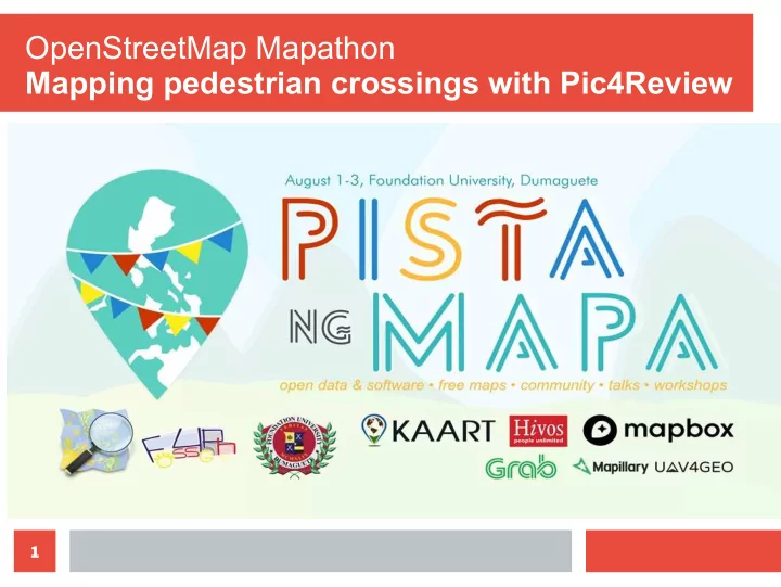
OpenStreetMap Mapathon Mapping pedestrian crossings with Pic4Review - - PowerPoint PPT Presentation
OpenStreetMap Mapathon Mapping pedestrian crossings with Pic4Review 1 Rally De Leon Data Team Member OpenStreetMap User ID: Rally Sidewalk Advocate 2 OpenStreetMap Wikipedia of maps Open & Free Anybody can edit and improve the map
1
2
3
Wikipedia of maps Open & Free Anybody can edit and improve the map Download data & use them for whatever purpose you like, as long as you give credits to OSM Contributors
4
Provides navigation data for an
(OpenStreetMap) Ground Validations & Quality Control Its map contributions have powered Garmin GPS, Apple iOS, and Google Android devices.
Source: kaart.com https://youtu.be/_tTjAOI2xds
5
6
7
Transport system that works for the Poor and Vulnerable Road Users
(students, seniors, PWD)
Walkable, bikeable, accessible neighborhoods Mobility with safety and civility Right to information for efgicient and convenient travel
Ref: IMN principles; Sen.Bill #775 (Dignity in Commuting); Montalbo
9
Pedestrian estimates vehicle speeds. Adjust their own walking speed. Determine adequacy of vehicle gaps. Predict vehicle paths. Decide the appropriate timing to cross. Drivers must see pedestrians. Estimate their vehicle’s speed and the pedestrian speeds. Determine the need for action, and react.
Source: https://safety.fhwa.dot.gov/ped_bike/tools_solve/medians_trifold/
10
The supported mobile navigation sofuware will ofuen warn the driver to take precautions when crossings are detected. For personal navigation, especially by independent persons with disabilities, knowing where to cross is critical for their safety.
Crossings are important for routing and navigation sofuware, to increase road safety. Note: some defacto crossings are “unmarked” (no road markings)
11
Simple OpenStreetMap (OSM) Editor
OpenStreetMap Editor
12
13
https://help.mapillary.com/hc/en-us/articles/115000967191-Object-detections
Mapillary uses computer vision technology to auto- detect the type of objects depicted in images, and do triangulations to estimate their locations based from multiple street-level pictures.
14
15
16
Choose a mission Create missions
17
Sign up at osm.org
18
19
20
https://pic4review.pavie.info/#/mission/670/review
21
RED DOT is the estimated location of “Crossing” Move it to the correct position before clicking >>
1. 1.
Click here to move Drag to correct position Confirm Done
2. 2. 3. 3. 4. 4.
YELLOW DOTS = existing features identified RED DOT = potentially unmapped new Crossing (feature)
Existing Features