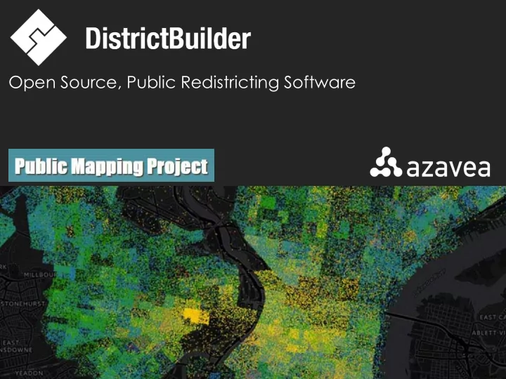
SLIDE 1 Open Source, Public Redistricting Software
SLIDE 2
software and data analytics for good
SLIDE 3 Advance the state of the art in geospatial technology... ...and apply it for civic, social and environmental impact
SLIDE 4
SLIDE 5
SLIDE 6
▪ Run in a browser ▪ Designed for the public ▪ Simple to use ▪ Integrate w/ data ▪ Generate valid plans ▪ Support public competitions ▪ Transparent
Objectives
SLIDE 7
Tour
SLIDE 8
DrawTheLinesPA.org
SLIDE 9
Custom Arrival
SLIDE 10
Login
SLIDE 11
Select a Starting Template
SLIDE 12
Save and Share
SLIDE 13
Upload your own starting point
SLIDE 14
Base maps, parameters, and stats
SLIDE 15
District and Plan Stats
SLIDE 16
Competitiveness
SLIDE 17
Fix Unassigned Geography
SLIDE 18
Evaluation Reports
SLIDE 19
Submit and Share
SLIDE 20
Leaderboards
SLIDE 21
Building Community
SLIDE 22
Curriculum Materials
SLIDE 23
Curriculum Materials
SLIDE 24
DrawTheLinesPA
SLIDE 25
DrawTheLinesPA
SLIDE 26
Open Source
SLIDE 27
▪ Web-based ▪ Aimed at citizens ▪ Shareable plans ▪ Competitions ▪ Multi-language support ▪ Configurable base maps ▪ Communities of Interest ▪ Open source
Key Features
SLIDE 28
What’s next?
SLIDE 29
▪ Complexity ▪ Infrastructure cost ▪ Scalability ▪ UX Design ▪ Technology treadmill
DB 1.0 Key Challenges
SLIDE 30
2.0
SLIDE 31
Wish list #1 Improve UX
SLIDE 32
Wish list #2 Re-architect for shared infrastructure (configure vs. install)
SLIDE 33
Wish list #3 National Scale (all states)
SLIDE 34
Improvement #4 Simpler Configuration
SLIDE 35
Improvement #5 More Scalable
SLIDE 36
Improvement #6 Leverage New Technology
SLIDE 37
Improvement #7 Easier to Contribute Code and Collaborate
SLIDE 38
DistrictBuilder 2.0 Sneak Peek
SLIDE 39
SLIDE 40
Q&A
SLIDE 41 Open Source, Public Redistricting Software
districtbuilder.org