
SLIDE 1
Noyo Ha Harbor C Community S y Sustai ainabi ability P y Plan S Scope
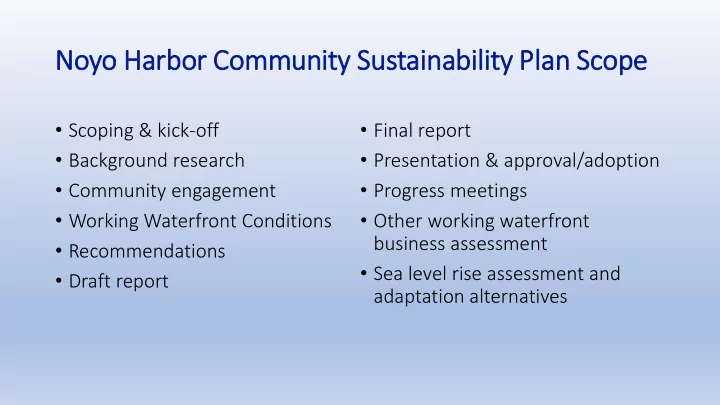
- Scoping & kick-off
- Background research
- Community engagement
- Working Waterfront Conditions
- Recommendations
- Draft report
- Final report
- Presentation & approval/adoption
- Progress meetings
- Other working waterfront
business assessment
- Sea level rise assessment and