
SLIDE 1
NR406
GIS Applications in Fire Ecology & Management
Lesson 5 Mapping Fuels and Sim ulations in Farsite
Notes:
NR406: GIS Applications in Fire Ecology and Management
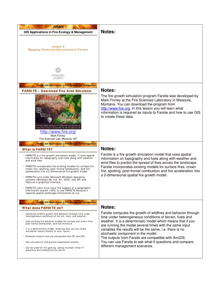
http://www.fire.org/
Mark Finney Fire Sciences Lab, Missoula, MT
FARSI TE – Dow nload Fire Area Sim ulator FARSI TE – Dow nload Fire Area Sim ulator
Notes:
The fire growth simulation program Farsite was developed by Mark Finney at the Fire Sciences Laboratory in Missoula,
- Montana. You can download the program from
http://www.fire.org. In this lesson you will learn what information is required as inputs to Farsite and how to use GIS to create these data.
NR406: GIS Applications in Fire Ecology and Management
- FARSITE is a fire growth simulation model. It uses spatial
information on topography and fuels along with weather and wind files.
- FARSITE incorporates the existing models for surface fire,
crown fire, spotting, post-frontal combustion, and fire acceleration into a 2-dimensional fire growth model.
- FARSITE runs under Microsoft Windows operating
systems (Windows 98, me, NT, 2000, and XP) and features a graphical interface.
- FARSITE users must have the support of a geographic
information system (GIS) to use FARSITE because it requires spatial landscape information to run.
W hat is FARSI TE? W hat is FARSI TE?
Notes:
Farsite is a fire growth simulation model that uses spatial information on topography and fuels along with weather and wind files to predict the spread of fires across the landscape. Farsite incorporates existing models for surface fires, crown fire, spotting, post-frontal combustion and fire acceleration into a 2-dimensional spatial fire growth model.
NR406: GIS Applications in Fire Ecology and Management
- Computes wildfire growth and behavior through time under
heterogeneous conditions of terrain, fuels, and weather.
- Uses existing fire behavior m odels for surface and crown fires,
post-frontal combustion, and fuel moisture.
- It is a determ inistic model, meaning that you can relate
simulation results directly to your inputs.
- Produces outputs that are compatible with PC and GIS.
- Can simulate air and ground suppression actions.
- Can be used for fire gaming, asking multiple "what-if"
questions and com paring the results.
W hat does FARSI TE do? W hat does FARSI TE do?
Notes:
Farsite computes the growth of wildfires and behavior through time under heterogeneous conditions of terrain, fuels and
- weather. It is a deterministic model which means that if you