
SLIDE 1
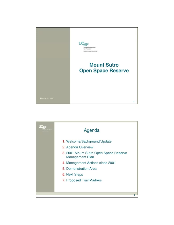
Mount Sutro Open Space Reserve
1 March 24, 2010 2
- 1. Welcome/Background/Update
- 2. Agenda Overview
- 3. 2001 Mount Sutro Open Space Reserve
Management Plan
- 4. Management Actions since 2001
- 5. Demonstration Area
- 6. Next Steps
- 7. Proposed Trail Markers