
SLIDE 1
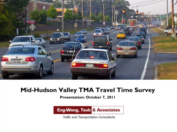
Mid-Hudson Valley TMA Travel Time Survey
Presentation: October 7, 2011
Mid-Hudson Valley TMA Travel Time Survey Presentation: October 7, - - PowerPoint PPT Presentation
Mid-Hudson Valley TMA Travel Time Survey Presentation: October 7, 2011 Presentation Agenda Introduction Survey Design Sampling Plan Data Collection Data Summarization Key Findings Ulster County
Presentation: October 7, 2011
2
GPS and laptop captures real-time travel time data
Section Roadway From To Time Periods AM Midday PM Sat Sun 1-EB Broadway Albany Avenue US 9W 1.29 1.34 1.37
1.76 1.69 1.91
Albany, Ulster Ave. Broadway US 9W 1.21 1.31 1.29 1.30
1.07 1.23 1.19 1.17
Washington Ave. SR 32 Thruway Circle 2.14 1.82 2.06
1.98 2.26 2.04
SR 299 Main Street I-87 SR 32 1.28 1.40 1.90 2.17
1.16 1.53 2.19 2.34
SR 299 US 9W I-87 1.41 1.29 1.40 1.27
1.15 1.18 1.33 1.24
Burt Street/Hill/ Partition /Ulster Ave/SR 212 Overbaugh Street SR 32 1.29 1.41 1.25
1.57 1.30 1.41
I587 Albany Avenue US 209
Routes Roadway From To Time Periods AM Midday PM Sat Sun 16-NB US 9 I 84 NY 55/US 44 1.25 1.35 1.54 1.42 16-SB 1.24 1.30 1.51 1.52 17-NB US 9 US 44/NY 55 NY 9G 1.10 1.17 1.22 1.42 17-SB 1.12 1.10 1.14 1.53 24-EB NY 52 I 84 Taconic State Parkway 1.26 1.30 1.39 24-WB 1.24 1.23 1.58 25-NB NY 9D I 84 US 9 1.31 1.28 1.44 25-SB 1.31 1.24 1.35
Routes Roadway From To Time Periods AM Midday PM Sat Sun 34-NB Rte 17/32 Larkin Dr. CR 105 1.24 1.39 1.56 1.37 34-SB 1.45 1.34 1.77 1.45 35-NB Rte 17M/208 Rte 17 Rte 17 1.25 1.34 1.63 1.50 35-SB 1.28 1.33 1.51 1.52 37-EB Rte 17M Rte 17 I84 1.41 1.31 1.38 37-WB 1.20 1.27 1.65 38-NB Rte 17M Rte 17 I84 1.48 1.79 1.61 1.82 38-SB 1.71 1.69 1.73 1.66
Routes Roadway From To Time Periods AM Midday PM Sat Sun 43-NB Rte 208 Neelytown Rd (CR99) Rte 17 1.68 1.46 1.92 1.36 43-SB 1.72 1.90 1.86 1.30 44-NB Rte 208 Scotchfield St. William St 2.14 2.31 2.81 44-SB 1.39 1.42 2.27 45-EB Rte 52 Elm St Montgomery St 1.37 2.37 1.76 45-WB 1.69 1.77 2.37 46-EB Rte 17K Rte 300 Rte 747 1.65 1.44 1.39 46-WB 1.46 1.42 1.59 47-EB Broadway/Rte 17K William St Rte 300 1.35 1.43 1.69 1.58 47-WB 1.55 1.86 2.16 1.79