
SLIDE 1
Michael Batistatos (Laboratory Teaching Staff) - - PowerPoint PPT Presentation
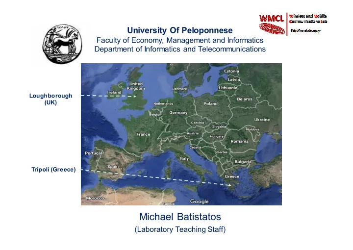
University Of Peloponnese Faculty of Economy, Management and Informatics Department of Informatics and Telecommunications Loughborough (UK) Tripoli (Greece) Michael Batistatos (Laboratory Teaching Staff) http://wmclab.uop.gr/ RF
No L.O.S. Τέλος Διαδρόμου με θόρυβο 800.2ΜΗz,BW:200KHz
0,00 5,00 10,00 15,00 20,00 25,00 30,00 35,00 40,00 1 5 9 13 17 21 25 29 33 37 41 45 49 53 57 61 65 69 73 77 81 85 89 93 97 101 105 109 113 Measurement Number (0-14s) V/m
L.O.S. BASKET 800.2MHz, BW:200Mhz
0,00 2,00 4,00 6,00 8,00 10,00 12,00 1 13 25 37 49 61 73 85 97 109 121 133 145 157 169 181 193 205 217 229 Measurement Number(0-30s) V/m