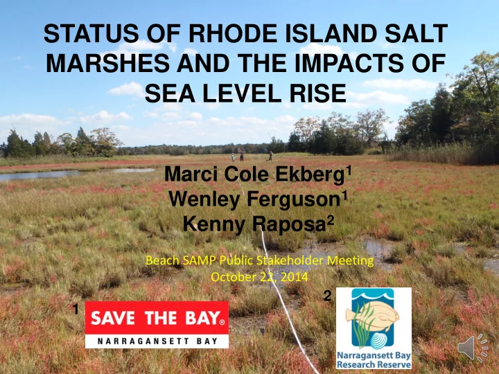

STATUS OF RHODE ISLAND SALT MARSHES AND THE IMPACTS OF SEA LEVEL RISE Marci Cole Ekberg 1 Wenley Ferguson 1 Kenny Raposa 2 Beach SAMP Public Stakeholder Meeting October 22, 2014 2 1
• RI has lost 53% of its 1939 historic salt marshes over the last two centuries* due to filling (loss of about 4,000 acres statewide) • STB conducted bay- wide assessment of human impacts to salt 1972 marshes in 1996 to identify restoration opportunities • Impacted marshes have since been restored by multiple partners * Bromberg and Bertness, 2005
• Monitoring tidally restricted marshes has shown that conditions can change rapidly • Similar degraded conditions have been 2004 found in marshes with no tidal restrictions • Increased rate of sea level rise could be major driver of change 2010 Gooseneck Cove 2010
Initial field and aerial assessment of marshes
HEIGHT NOW Adapted from: http://tidesandcurrents.noaa.gov/sltrends/ sltrends_station.shtml?stnid=8452660%20Newport,%20RI Boothroyd 2013
Interannual variation since 1990 at Newport, RI
USACE and NOAA SLR Curves http://corpsclimate.us/ccaceslcurves.cfm
Region-wide assessment of Narragansett Bay and RI South Shore salt marshes: 2012-2014 Goals of RISMA: • Establish baseline marsh condition • Monitor changes over time of vegetation communities • Identify adaptive management opportunities
Belt Transect Bearing Capacity • Monitored vegetation every 10 meters and width of plant communities • Measured bearing capacity • Additional data: salinity, mosquito density, fish presence
Source: Maine SeaGrant
Shallow ponded water Defined pool in foreground versus Mosquito breeding habitat shallow standing water
Narrow high marsh along upland edge Barren peat Degraded Spartina alterniflora
Marsh erosion
Marsh Loss: Hundred Acre Cove, Barrington 2012 1939
Marsh Loss: Mary’s Creek, Warwick 1995-2013 1995 2013
High High Short form Eroding Marsh Marsh Marsh S. Alterniflora leading border edge ~ 53% of marsh Shallow ponded water Pool
Rapid loss of Spartina patens Coggeshall Marsh 100 Spartina alterniflora Spartina patens 80 Percent Cover 60 40 20 0 2000 2002 2004 2006 2008 2010 2012 2014 2016 2018 Data Source: Raposa, Narragansett Bay Estuarine Research Reserve
Latitudinal gradient y = -108.8x + 4574.9 100 R² = 0.52 p < 0.001 % Spartina alterniflora (point 80 60 int) 40 20 0 41.2 41.3 41.4 41.5 41.6 41.7 41.8 41.9 Latitude
Marsh migration
Winnapaug Pond Marsh Marsh migration occurring yet impounded water creating mosquito breeding habitat
Adaptive Management
Thank You
Recommend
More recommend