main points
play

Main Points Tornado and Severe Wind Threat on Sunday into Monday - PowerPoint PPT Presentation

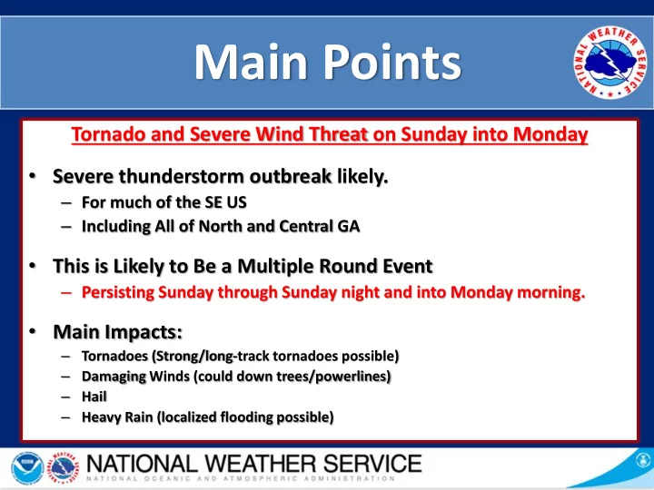
Main Points Tornado and Severe Wind Threat on Sunday into Monday Severe thunderstorm outbreak likely. For much of the SE US Including All of North and Central GA This is Likely to Be a Multiple Round Event Persisting Sunday


  1. Main Points Tornado and Severe Wind Threat on Sunday into Monday • Severe thunderstorm outbreak likely. – For much of the SE US – Including All of North and Central GA • This is Likely to Be a Multiple Round Event – Persisting Sunday through Sunday night and into Monday morning. • Main Impacts: – Tornadoes (Strong/long-track tornadoes possible) – Damaging Winds (could down trees/powerlines) – Hail – Heavy Rain (localized flooding possible)
  2. Potential Watches • Tornadoes – Tornado Watch AND/OR Severe Thunderstorm Watch Likely Sunday afternoon into Monday Morning • Flooding – Potential for a Flash Flood Watch Sunday (N and NE GA)

  3. SPC Outlook - Sunday Subject to change w/ later forecasts • Enhanced Risk (level 3) over NW GA • Slight Risk (level 2) over the rest of E GA • Timing : Sunday afternoon/evening into early Monday • Main Threats: • Tornadoes • Damaging Winds • Hail • Flash Flooding

  4. SPC Severe Wind Risk Sunday Likely to change w/ later forecasts • Highest Probability Over West Central GA at 30%

  5. SPC Tornado Risk Sunday Likely to change w/ later forecasts • Highest Probability Over West Central GA at 10% • Hatched area is for “ significant tornado event” • Strong long- track tornadoes

  6. SPC Hail Risk Sunday Likely to change w/ later forecasts • Highest Probability Over Entire Area at 15% • Hatched area is for “ significant hail event” • Looks like the largest of the hail will remain west of the area but up to 1 and a half inch hail still possible.

  7. SPC Outlook - Monday Subject to change w/ later forecasts • Slight Risk • Timing : early Monday with the system exiting • Main Threats: • Damaging Winds • Tornadoes

  8. Timing for Storms ***Just ONE model outlook. Likely to shift*** Tornado Energy Sunday Morning

  9. Timing for Storms ***Just ONE model outlook. Likely to shift*** Tornado Energy Sunday Afternoon

  10. Timing for Storms ***Just ONE model outlook. Likely to shift*** Tornado Energy Sunday Evening

  11. Timing for Storms ***Just ONE model outlook. Likely to shift*** Tornado Energy Around Midnight

  12. Timing for Storms ***Just ONE model outlook. Likely to shift*** Tornado Energy 3am to 5am

  13. Timing for Storms ***Just ONE model outlook. Likely to shift*** Tornado Energy 7am Monday

  14. Threat Levels & Confidence

  15. History and Context • The 15 most Similar Environments Tell Us An Outbreak Is Likely • Question Is How Far East Will It Translate. • Has The Potential To Be In The Top 5 For Most Significant Severe Events In The Last 10 Years • Last Moderate risk for the area was April 5 th , 2017

  16. Rainfall Through Monday Morning • 1”to 3+” with locally higher amounts possible across N GA • Heaviest period is expected to be late Sunday/early Monday

  17. Summary Tornado and Severe Wind Threat on Sunday into Monday • Severe thunderstorm outbreak likely. – For much of the SE US – Including All of North and Central GA • This is Likely to Be a Multiple Round Event – Persisting Sunday through Sunday night and into Monday morning. • Main Impacts: – Tornadoes (Strong/long-track tornadoes possible) – Damaging Winds (could down trees/powerlines) – Hail – Heavy Rain (localized flooding possible)

Download Presentation
Download Policy: The content available on the website is offered to you 'AS IS' for your personal information and use only. It cannot be commercialized, licensed, or distributed on other websites without prior consent from the author. To download a presentation, simply click this link. If you encounter any difficulties during the download process, it's possible that the publisher has removed the file from their server.

Recommend


More recommend