
SLIDE 1
Lawrence Park Neighbourhood Investigation of Basement Flooding & - - PowerPoint PPT Presentation
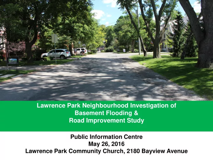
Lawrence Park Neighbourhood Investigation of Basement Flooding & Road Improvement Study Public Information Centre May 26, 2016 Lawrence Park Community Church, 2180 Bayview Avenue Why are we doing this study? The City has an obligation to
2
3
Graphic summarizes results of 2013 geotechnical assessment of pavement conditions.
4
5
6
7
8
9
10
Environmental Assessment Study Establish framework of road widths, streets with sidewalks, road drainage system, sewer improvements and traffic sight-lines Detailed Engineering Design Produce detailed drawings with:
sewers) Construction Qualified contractor hired to carry out construction; City oversees contract and inspection of work
11
12
Standards and Policies Study Considerations for Lawrence Park Local Road - 8.5 m road width 7.2 m road width with localized narrowing to 6.6 m Local Road - 1.7- 2.0 m sidewalk on
Inclusion of a sidewalk on one side was evaluated. 1.5 m sidewalk on local roads that create or maintain a key linkage across the neighbourhood. Collector Road - 9.5 m road width 1.7- 2.0 m sidewalk on both sides 8.5 m road width, 1.5 m sidewalk on one side 7.2 m road width, 1.5 m sidewalk on both sides Maintain existing ditches Ditches and underground storm sewers evaluated. Storm sewers score higher because of significant tree loss associated with rebuilding ditches to standard. Enhanced level of protection against sanitary sewer back-up for 25-50 year storm event and storm sewer back-up and surface flooding for 100-year storm event *Management of runoff on or between private property is the responsibility of the homeowners
13
14
Not Impacted: The TIZ lies completely outside of the construction width and will not be impacted. Preserved if Possible: Construction inside the TIZ; the tree will be impacted by
will be used to preserve the tree. Removed and Replaced: Construction significantly inside the TIZ. Tree significantly impacted by construction to the extent that removal is expected.
15
Pictured above: Pneumatic (air) and hydraulic (water) excavation techniques remove the surrounding soil without significantly damaging tree roots.
Photo: Ruskins.co.uk Photo: djc.com Photo: T-Rex Services
Photo: gibneye.com
16
Photo: greentreedoctor.com Photo: selector.com Photo: thinktrees.co.uk
Monitoring Irrigation Aeration
17
Table shows the current count of trees estimated to be removed and replaced, preserved if possible and not impacted based on customized Tree Impact Zone assessments.
18
New Trees Replacement Trees
19
Not Impacted Preserved if Possible Removed and Replaced
20
21
Not Impacted Preserved if Possible Removed and Replaced
22
23
Not Impacted Preserved if Possible Removed and Replaced
24
(note: sidewalk on right-side for illustration purpose only)
25
…
26
27
Existing Road
Preliminary Alignment Narrowed Alignment
28
29
Existing Conditions
Preliminary Alignment Shifted Alignment
30
31
Local Road Width 8.5 m or 7.2 m Collector Road Width (Mildenhall South) 9.5 m, 8.5 m or 7.2 m Sidewalks Local Road - 0 or 1 sidewalk Collector Road - 1 or 2 sidewalks Road Drainage Urban (storm sewers + catch basins) Rural (ditches)
32
33
34
35
36
Alternative #6: 7.2m road width + 2 sidewalks + urban cross section
37
7.2 m width, 1 sidewalk, urban cross section 7.2 m width, no sidewalk, urban cross section 7.2 m width, 2 sidewalk, urban cross section
38
39
Blythwood Road at Strathgowan Cres, facing East
Blythwood Road / Strathgowan Crescent
Mount Pleasant Road / Lawrence Crescent and Mount Pleasant Road / St. Leonards Avenue
40
41
42
43
44
45
46
47