Jon Stewart and Clark Staples Plisga and Day Land Surveyors Maine - - PDF document

jon stewart and clark staples plisga and day land
SMART_READER_LITE
LIVE PREVIEW

Jon Stewart and Clark Staples Plisga and Day Land Surveyors Maine - - PDF document

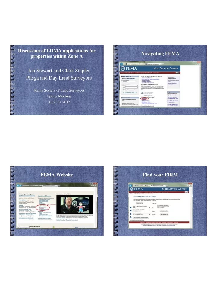
Discussion of LOMA applications for Navigating FEMA properties within Zone A Jon Stewart and Clark Staples Plisga and Day Land Surveyors Maine Society of Land Surveyors Spring Meeting April 20, 2012 FEMA Website Find your FIRM Print your


slide-1
SLIDE 1

Discussion of LOMA applications for properties within Zone A

Jon Stewart and Clark Staples Plisga and Day Land Surveyors

Maine Society of Land Surveyors Spring Meeting April 20, 2012

FEMA Website Navigating FEMA Find your FIRM

slide-2
SLIDE 2

Print your FIRM

Plisga and Day Land Surveyors- MSLS Spring Meeting April 20, 2012 6

The following statistics are directly from a Morning Sentinel article “Fighting flood plain status costing Mainers” January 15, 2012, by Jonathan Riskind.

Plisga and Day Land Surveyors- MSLS Spring Meeting April 20, 2012 7

Last year, 370 Maine property owners appealed to the Federal Emergency Management Agency to remove their homes or businesses from flood plain status, according to the Maine State Planning Office. Most of them had to hire surveyors at an average cost of $750 to prove they didn't need to pay for costly flood insurance policies required to obtain a mortgage.

Plisga and Day Land Surveyors- MSLS Spring Meeting April 20, 2012 8

Maine's rate of flood plain appeal applications is three times the national average, according to the office's Maine Floodplain Management Program.

slide-3
SLIDE 3

Plisga and Day Land Surveyors- MSLS Spring Meeting April 20, 2012 9

Since 1983, the earliest date with available data, there have been more than 3,400 flood plain map appeals in Maine, costing property owners more than $2.6 million, according to the state planning

  • ffice.

Plisga and Day Land Surveyors- MSLS Spring Meeting April 20, 2012 10

Maine's maps tend to be older than the national average, according to Joseph Young, the state program's mapping coordinator. Even though new federal maps are issued every few years, that doesn't mean they are done using new and improved technology, Young said. Often, old map data is simply overlaid with new digital photographs that don't correct old mistakes, he said. End of newspaper article

Plisga and Day Land Surveyors- MSLS Spring Meeting April 20, 2012 11

Flood Hazard Area

Flood hazard areas identified on the Flood Insurance Rate Map are identified as a Special Flood Hazard Area (SFHA). SFHA are defined as the area that will be inundated by the flood event having a 1-percent chance of being equaled

  • r exceeded in any given year. The 1-percent

annual chance flood is also referred to as the base flood or 100-year flood.

Plisga and Day Land Surveyors- MSLS Spring Meeting April 20, 2012 12

Zone designations

SFHAs are labeled as Zone A, Zone AO, Zone AH, Zones A1-A30, Zone AE, Zone A99, Zone AR, Zone AR/AE, Zone AR/AO, Zone AR/A1-A30, Zone AR/A, Zone V, Zone VE, and Zones V1-V30. Moderate flood hazard areas, labeled Zone B or Zone X (shaded) are also shown on the FIRM, and are the areas between the limits of the base flood and the 0.2-percent-annual-chance (or 500-year) flood. The areas of minimal flood hazard, which are the areas outside the SFHA and higher than the elevation of the 0.2-percent-annual- chance flood, are labeled Zone C or Zone X (unshaded).

slide-4
SLIDE 4

Plisga and Day Land Surveyors- MSLS Spring Meeting April 20, 2012 13

Zone A

Areas subject to inundation by the 1-percent- annual-chance flood event generally determined using approximate methodologies. Because detailed hydraulic analyses have not been performed, no Base Flood Elevations (BFEs) or flood depths are shown. Mandatory flood insurance purchase requirements and floodplain management standards apply.

Plisga and Day Land Surveyors- MSLS Spring Meeting April 20, 2012 14

We are NOT EXPERTS at determining a BFE, these are examples of LOMA applications we have completed and had success with.

Plisga and Day Land Surveyors- MSLS Spring Meeting April 20, 2012 15

Be sure your client is aware that the preparation of a LOMA application is NOT a guarantee of success. FEMA makes the final call if the property or building is in or out of the Flood Hazard Area.

Plisga and Day Land Surveyors- MSLS Spring Meeting April 20, 2012 16

Contacts for existing information

Sue Baker- state coordinator for the

National Flood Insurance Program (207) 624-6230

USGS Augusta- (207) 622-8201 Town offices

slide-5
SLIDE 5

Plisga and Day Land Surveyors- MSLS Spring Meeting April 20, 2012 17

To start I looked for instructions from FEMA and found FEMA form 81-92, “Application form for single residential structures or lot amendments to National Flood Insurance Program Maps” (MT-EZ with instructions). This form expire February 28, 2014, and goes through step-by-step how to prepare the application. The MT-EZ form can not be used if the building(s)

  • r lot is on fill.

Plisga and Day Land Surveyors- MSLS Spring Meeting April 20, 2012 18

More instructions....

For LOMA requests involving property located in Zone A, with no BFEs determined, interested parties should refer to DHS-FEMA-265, Managing Floodplain Development in Approximate Zone A Areas, A Guide for Obtaining and Developing Base (100-Year) Flood Elevations, available on DHS-FEMA's website at http://www.fema.gov/library/viewRecord.do? id=2215.

Plisga and Day Land Surveyors- MSLS Spring Meeting April 20, 2012 19

An Elevation Certificate is optional, but we recommend it. It provides more information about the property than Section B of the LOMA application.

Plisga and Day Land Surveyors- MSLS Spring Meeting April 20, 2012 20

First Example Hermon, Maine

slide-6
SLIDE 6

Plisga and Day Land Surveyors- MSLS Spring Meeting April 20, 2012 21

FIRM- Submitted with LOMA Application

Plisga and Day Land Surveyors- MSLS Spring Meeting April 20, 2012 24

Aerial view- Not Submitted

slide-7
SLIDE 7

Plisga and Day Land Surveyors- MSLS Spring Meeting April 20, 2012 25

Front View- Submitted with Elev. Certificate

Plisga and Day Land Surveyors- MSLS Spring Meeting April 20, 2012 26

Rear view- Submitted with E.C.

Plisga and Day Land Surveyors- MSLS Spring Meeting April 20, 2012 27

Application map showing Zone A boundaries

Plisga and Day Land Surveyors- MSLS Spring Meeting April 20, 2012 28

Results

slide-8
SLIDE 8

Plisga and Day Land Surveyors- MSLS Spring Meeting April 20, 2012 29

Included in Application

Elevation Certificate with photographs LOMA application FIRM with property shown approximately Former survey of premises provided by client Deed and Town Tax Map (or subdivision plat) Map of premises Plisga and Day Land Surveyors- MSLS Spring Meeting April 20, 2012 30

Second Example Orrington, Maine

Plisga and Day Land Surveyors- MSLS Spring Meeting April 20, 2012 31

FIRM- Submitted with LOMA Application

Plisga and Day Land Surveyors- MSLS Spring Meeting April 20, 2012 32

Front of property

slide-9
SLIDE 9

Plisga and Day Land Surveyors- MSLS Spring Meeting April 20, 2012 33

Application map showing Zone A boundaries

Plisga and Day Land Surveyors- MSLS Spring Meeting April 20, 2012 34

Application and Results

Plisga and Day Land Surveyors- MSLS Spring Meeting April 20, 2012 35

Third Example Fletchers Landing

Plisga and Day Land Surveyors- MSLS Spring Meeting April 20, 2012 36

Letter of Engagement and cover letter to FEMA

slide-10
SLIDE 10

Plisga and Day Land Surveyors- MSLS Spring Meeting April 20, 2012 37

LOMA Application

Plisga and Day Land Surveyors- MSLS Spring Meeting April 20, 2012 38

LOMA Depot

Plisga and Day Land Surveyors- MSLS Spring Meeting April 20, 2012 39

Exhibits sent with LOMA Application

Plisga and Day Land Surveyors- MSLS Spring Meeting April 20, 2012 40

FIRM

slide-11
SLIDE 11

Plisga and Day Land Surveyors- MSLS Spring Meeting April 20, 2012 41

Deed

Plisga and Day Land Surveyors- MSLS Spring Meeting April 20, 2012 42

Deed continued

Plisga and Day Land Surveyors- MSLS Spring Meeting April 20, 2012 43

Parcel to be removed

Plisga and Day Land Surveyors- MSLS Spring Meeting April 20, 2012 44

Photo Exhibits

slide-12
SLIDE 12

Plisga and Day Land Surveyors- MSLS Spring Meeting April 20, 2012 45

Request for more information and response

Plisga and Day Land Surveyors- MSLS Spring Meeting April 20, 2012 46

Revisions

Plisga and Day Land Surveyors- MSLS Spring Meeting April 20, 2012 47

Revisions

Plisga and Day Land Surveyors- MSLS Spring Meeting April 20, 2012 48

Revisions

slide-13
SLIDE 13

Plisga and Day Land Surveyors- MSLS Spring Meeting April 20, 2012 49

Response from FEMA

Plisga and Day Land Surveyors- MSLS Spring Meeting April 20, 2012 50

Response from FEMA

Plisga and Day Land Surveyors- MSLS Spring Meeting April 20, 2012 51

Searching for flood information: Visit FEMA at http://www.fema.gov (Click on Flood Information | Flood Maps to get to the Map Service Center)

  • r memorize...this for

maps.https://msc.fema.gov/webapp/wcs/stores/servl et/CategoryDisplay? catalogId=10001&storeId=10001&categoryId=1200 1&langId=-1&userType=R&type=1&future=false

Plisga and Day Land Surveyors- MSLS Spring Meeting April 20, 2012 52

  • Mr. Clark G. Staples, PLS

ClarkStaples@WeMapIt.com

  • Mr. Jonathan M. Stewart, PLS

js@WeMapIt.com Special Thanks To Our Employer Plisga & Day 72 Main Street Bangor, Maine 04401

slide-14
SLIDE 14