
SLIDE 1
Ben Ross. 2017 http://voakl.net Twitter: @BenRoss_AKL Facebook: Talking Auckland @BenRossAKL
Inter-Regional Planning Uniting both Urban and Provincial Centres
Looking at how to solve pressures and problems in Urban and Provincial Centres while linking to Sustainability and Planning
1
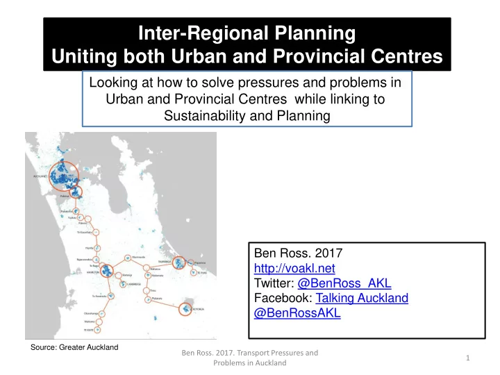
Source: Greater Auckland
Ben Ross. 2017. Transport Pressures and Problems in Auckland