integration plan
play

INTEGRATION PLAN Weir Gulch August 30, 2016 Related Projects and - PowerPoint PPT Presentation

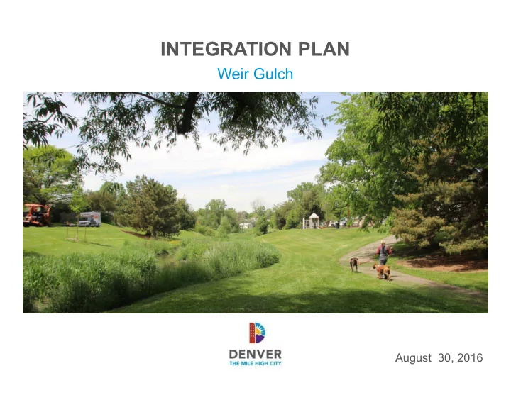
INTEGRATION PLAN Weir Gulch August 30, 2016 Related Projects and Partners Tonights Agenda 1. Welcome & Meeting Purpose 2. Other Project Updates Floodplain Study Urban Waterways Study 3. Purpose of the Integration Plan 4.


  1. INTEGRATION PLAN Weir Gulch August 30, 2016

  2. Related Projects and Partners

  3. Tonight’s Agenda 1. Welcome & Meeting Purpose 2. Other Project Updates • Floodplain Study • Urban Waterways Study 3. Purpose of the Integration Plan 4. Integration Plan Ideas 5. Gather Feedback/Open House

  4. Study Area Weir Gulch Federal Blvd 6th Ave Sheridan Blvd Federal Blvd Alameda Ave For discussion purposes only

  5. Related Projects Floodplain Study

  6. Related Projects Denver Urban Waterways Study Study Update: • Project team is evaluating the range of options • Recommend a preferred option based on selection criteria • Release report of proposed preferred plan and review at public meeting – Late 2016 / Early 2017 • Army Corps & City of Denver selection of plan – Mid 2017 www.denvergov.org/DenverWaterways

  7. Integration Plan What is the purpose? • Build upon and complement the technical Army Corps study by envisioning neighborhood place-making benefits and connections • Identify neighborhood enhancements that will better connect and activate your community

  8. Integration Plan How will it be used? • Used to inform potential enhancements to Army Corps work • Used to prioritize future complementary City investments within your neighborhood • The neighborhood enhancements have the potential of happening regardless of the timing of the Army Corps study Why now? • We want your input on the greater vision early in the process

  9. Other Denver Projects in the Area Weir Gulch • Weir Gulch and Tributaries Floodplain Study • Westwood Neighborhood Plan • Decatur Federal Station Area Plan • Sun Valley Master Plan • Federal Boulevard Corridor Plan • Barnum-Barnum West Neighborhood Plan

  10. Public Input to Date From Urban Waterways Study • Desire for quality outdoor spaces within the neighborhood that are safe and inviting • Desire for better maintenance and water quality of the open channel • Desire for safe and comfortable connections to Weir Gulch and other neighborhoods • Concern about property impacts

  11. Weir Gulch Existing Conditions 6th Ave Federal Blvd Sheridan Blvd Alameda Ave For discussion purposes only

  12. Goals of Integration Plan Weir Gulch • Establish clear connections from Gulch to neighborhood • Establish clear visual and physical linkages between trail segments • All trail/road crossings should have clear striping and should be signalized or grade separated • Gulches should be amenity spaces

  13. Integration Plan Terms Weir Gulch Bike/Ped: bicycle and pedestrian Grade-separated: pedestrian/bike underpass or bridge Enhanced Crossings: comfortable street crossing for pedestrian/bikes that have striping and possibly a pedestrian signal Green Street: Street that is multi-modal and incorporates water quality into the streetscape design

  14. Weir Gulch Overall Plan 6th Ave Sheridan Blvd Federal Blvd Alameda Ave For discussion purposes only

  15. Weir Gulch - Reach 1& 2 Ideas Federal Blvd 8th Ave 6th Ave Knox Ct Hooker St 1. Study feasibility of creating grade-separated bike/ped connection through 8 th & Federal intersection. 2. Provide comfortable bike/ped crossing at Gulch and Decatur St. 3. Create enhanced bike/ped routes to Barnum Park. For discussion purposes only

  16. Weir Gulch – Reach 3 Ideas 4th Ave Hooker St Raleigh St Quitman St Osceola St Newton St Lowell Blvd Stuart St Irving St Meade St Perry St Julian St Knox Ct King st 3rd Ave 1st Ave Extend closure of 2 nd Ave to create a greenway from Stuart to Knox. 1. 2. Provide street crossings at Perry, Lowell, Knox and Hooker. Implement green street connection along Lowell to 1 st Ave to connect to 3. commercial area. For discussion purposes only

  17. Weir Gulch – Reach 4 & tributary Ideas 2nd Ave 1st Ave Sheridan Blvd Xavier St Ellsworth Ave Bayaud Ave Stuart St Perry St Alameda Ave 1. Create grade-separated bridge crossing at Alameda for bike/ped crossing Provide trail access on both sides of Gulch between 1 st Ave and Bayaud 2. 3. Explore opportunities for new pocket parks. For discussion purposes only

  18. Weir Gulch – Reach 5 Ideas Alameda Ave Nevada Pl Sheridan Blvd Alaska Pl Utica St Custer Pl Lakewood Wolff St 1. Prioritize Nevada Pl and Wolff St for green connections to the Gulch 2. Study opportunity to work with the City of Lakewood to create grade-separated crossing at Sheridan and extend trail into Lakewood. 3. Explore opportunities for new pocket parks. For discussion purposes only

  19. Feedback & Open House We want to hear your likes, dislikes and top priorities. Visit the stations tonight, write comments on the plans and place dots next to your top priorities Comment online at www.denvergov.org/denverwaterways

  20. Next Steps & Schedule Urban Waterways Study Public Meeting #3 Winter 2016/2017 Propose preferred plan at public meeting

  21. Q & A

  22. Contact Information To contact the project team, please Call 311 and reference Denver Waterways www.denvergov.org/DenverWaterways.com Tiffany Vanosdall‐ Army Corps Study PM Selena Klosowski / Karen Good ‐ Denver Study PM Jeremy Hamer – Denver Floodplain Manager

Download Presentation
Download Policy: The content available on the website is offered to you 'AS IS' for your personal information and use only. It cannot be commercialized, licensed, or distributed on other websites without prior consent from the author. To download a presentation, simply click this link. If you encounter any difficulties during the download process, it's possible that the publisher has removed the file from their server.

Recommend


More recommend