
SLIDE 1
www.ite.uni-karlsruhe.de
10.2008
Institute of Systems Optimization
Institute of Systems Optimization
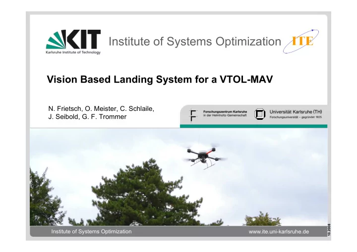
Vision Based Landing System for a VTOL-MAV
- N. Frietsch, O. Meister, C. Schlaile,
- J. Seibold, G. F. Trommer