
February 14, 2012
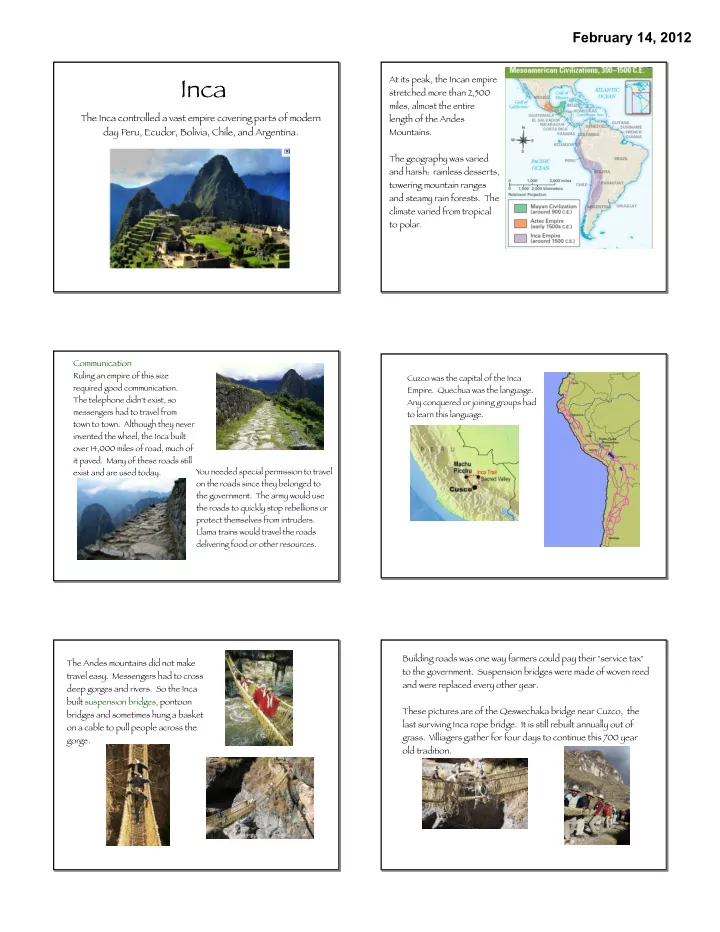
Inca
The Inca controlled a vast empire covering parts of modern day Peru, Ecudor, Bolivia, Chile, and Argentina.
At its peak, the Incan empire stretched more than 2,500 miles, almost the entire length of the Andes Mountains. The geography was varied and harsh: rainless desserts, towering mountain ranges and steamy rain forests. The climate varied from tropical to polar. Communication
Ruling an empire of this size required good communication. The telephone didn't exist, so messengers had to travel from town to town. Although they never invented the wheel, the Inca built
- ver 14,000 miles of road, much of
it paved. Many of these roads still exist and are used today. You needed special permission to travel
- n the roads since they belonged to
the government. The army would use the roads to quickly stop rebellions or protect themselves from intruders. Llama trains would travel the roads delivering food or other resources. Cuzco was the capital of the Inca
- Empire. Quechua was the language.
Any conquered or joining groups had to learn this language. The Andes mountains did not make travel easy. Messengers had to cross deep gorges and rivers. So the Inca built suspension bridges, pontoon bridges and sometimes hung a basket
- n a cable to pull people across the
gorge. Building roads was one way farmers could pay their "service tax" to the government. Suspension bridges were made of woven reed and were replaced every other year. These pictures are of the Qeswechaka bridge near Cuzco, the last surviving Inca rope bridge. It is still rebuilt annually out of
- grass. Villiagers gather for four days to continue this 700 year
- ld tradition.