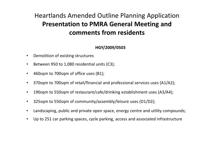
heartlands amended outline planning application
play

Heartlands Amended Outline Planning Application Presentation to PMRA - PowerPoint PPT Presentation

Heartlands Amended Outline Planning Application Presentation to PMRA General Meeting and comments from residents HGY/2009/0503 Demolition of existing structures Between 950 to 1,080 residential units (C3); 460sqm to 700sqm


  1. Heartlands Amended Outline Planning Application Presentation to PMRA General Meeting and comments from residents HGY/2009/0503 • Demolition of existing structures Between 950 to 1,080 residential units (C3); • • • 460sqm to 700sqm of office uses (B1); 460sqm to 700sqm of office uses (B1); • 370sqm to 700sqm of retail/financial and professional services uses (A1/A2); • 190sqm to 550sqm of restaurant/cafe/drinking establishment uses (A3/A4); 325sqm to 550sqm of community/assembly/leisure uses (D1/D2); • • Landscaping, public and private open space, energy centre and utility compounds; Up to 251 car parking spaces, cycle parking, access and associated infrastructure •

  2. Existing commercial/trade buildings constrain and have an adverse impact on development – see Course of the Moselle following slide Brook Network Rail Coronation This space and the lime Sidings development trees provide openness and an area of high streetscape value in The Victorian Society Hornsey Park Road and has called for Hornsey for the wider area Gas Holder No.1 (formerly a listed Look how narrow the building) to be protected land is between houses in Hornsey Park Road and the spine road and the spine road and railway embankment Heartlands West - New River Village

  3. Residents did not find this illustration credible – it suggests a level of openness and impact on existing houses that is not borne out by the detail

  4. Network Rail Coronation Sidings development Existing commercial/trade Development here will buildings constrain and cause serious overlooking have adverse impact on of existing houses and development – see gardens and result in the following slide loss of an important open space

  5. The connection to Hornsey Park Road will lead to noise and disturbance in existing roads if other connections and links are low amenity and unsafe. The development is connected through very low amenity space that is not part of the development

  6. Possible six storeys Possible eight storeys Possible 10 storeys Possible 10 & 12 storeys

  7. The comparison between the proposed square and Sloane Square was dismissed as meaningless: Sloane Square is a roundabout and far from a valuable community amenity space. The graphic could equally be applied to touched up picture of Wood Green on a sunny day. This is not the sort of space the new or established community needs.

  8. . These images are illustrative and not material to the application. There is an equal number of pictures in the application depicting grey, austere low grade /low maintenance environments dominated by concrete and pavings – an environment reminiscent of failed developments in the past and not one either typical of the best parts of Wood Green or one the community wishes to see created

  9. The so called “landmarks” will dominate existing housing in Hornsey park Road, Alexandra park and long views across the area

  10. The line of slab buildings will cut off daylight and The line of slab buildings will cut off daylight and sunlight from the west . The views shown will look straight into the rail depot building built on top of the railway embankment.

  11. Views of the trees on the railway embankment are prominent in Malvern Rd, Ravenstone Road and The Avenue This view is blocked by the proposed rail depot building

  12. The houses in Hornsey Park Road are two storey at this point – the fist floor level is marked by the red line. The drawing shows how the proposed building will dominate the houses and gardens at every point

  13. The trees are not part of the site and not within the control of the applicant:: the land is part of the Coronation Sidings development

  14. The light brown shading indicates outline of minimum building heights at rear of homes on Hornsey Park Road in area of lime trees The proposed housing in the gap in Hornsey Park Road will result in serious overlooking and loss of amenity for the existing houses. This space and the lime trees in Hornsey Park Road provide openness and are of high streetscape value. Other plans show this area to be used for parking and children’s play space . The connection to Hornsey Park Road will lead to noise and disturbance in existing roads if other connections and links are low amenity and unsafe. First floor levels of houses shown in red

  15. . Residents do not find images like this credible: they are not material to the application. There is an equal number of pictures in the application depicting grey, austere low grade /low maintenance environments dominated by concrete and pavings – an environment reminiscent of failed developments in the past and not one either typical of the best parts of Wood Green or one the community wishes to see created

  16. The view shows the enormous impact the slab buildings will have on Alexandra Park (a conservation area and setting to a listed building) and views of regional importance

  17. The view shows the enormous impact the slab buildings will have on Alexandra Park (a conservation area and setting to a listed building) and views of regional importance

  18. OVERLOOKING OF EXISTING HOMES IN HORSNEY PARK ROAD FROM NEW DEVELOPMENT AND LOSS OF SKY

  19. With mature vegetation (trees etc), the back gardens With mature vegetation (trees etc), the back gardens of Hornsey park Road will probably be in dark shade from 2pm throughout the summer, causing serious loss of light, amenity as well as ill health THIESE IGNORE THE EFFECT OF VEGITATION, WHICH FEATURES PROMINENTLY IN OTHER DRAWINGS FOR THE PURPOSES OF SCREENING INTRUSIVE OVERLOOKING

  20. . New buildings are proposed against the streets without amenity space or public open space , facing old commercial and trade buildings built against the street, creating a low grade and unsafe environment

  21. . APPLICATION SITE OPERATIONAL RAILWAY AND NETWORK RAIL DEVELOPMENT The site lies in an area which is deficient in accessible open space. The green corridor (highlighted brown here) shown in the planning application to the west of the site is railway land and subject to both development and more intensive use as part of Thameslink 2000 where adjacent to the site. The existing community and the new require high quality, bio diverse, quiet amenity space, as well as social and public open space

  22. . The development will create additional traffic and disturbance in Hornsey Park Road: more consideration must be given to how the Heartlands connects with and impacts on the surrounding established community

  23. The Moselle Brook should be opened up to create a high quality, contou space with bio diversity: Environment Agency Policy is to de culvert: the improved downstream through Lordship Rec with Lottery money. The riv improved downstream through Lordship Rec with Lottery money. The riv important part of the heritage of Wood Green and connects the east and Heartlands. Its restoration should be the centre piece of a 21 st century su development of a brown-field site. The application fails to recognise the value of exis assets – Hornsey Gas Holder no.1, the Moselle B former contours of the site before development of

Download Presentation
Download Policy: The content available on the website is offered to you 'AS IS' for your personal information and use only. It cannot be commercialized, licensed, or distributed on other websites without prior consent from the author. To download a presentation, simply click this link. If you encounter any difficulties during the download process, it's possible that the publisher has removed the file from their server.

Recommend


More recommend