
SLIDE 1
VUSP : October 17, 2019 PRESENTED BY: Andrew M. Birmingham, PE
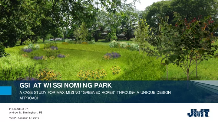
GSI AT WI SSI NOMI NG PARK A CASE STUDY FOR MAXIMIZING GREENED - - PowerPoint PPT Presentation
GSI AT WI SSI NOMI NG PARK A CASE STUDY FOR MAXIMIZING GREENED ACRES THROUGH A UNIQUE DESIGN APPROACH PRESENTED BY: Andrew M. Birmingham, PE VUSP : October 17, 2019 PROJECT TEAM AGENDA Project Purpose Historical Background
VUSP : October 17, 2019 PRESENTED BY: Andrew M. Birmingham, PE
Project Location Map (NTS) Location – 40°01’27.12” N, 75°04’09.12” W Source – USGS 7.5 minute Quadrangle – Frankford, PA-NJ 1997
“Lawndale” – Residence of Robert Cornelius. Now Wissinoming Park; house no longer present. (Credit: Frankford Historical Society)
Historical walkways from Lawndale Estate with built-in drainage gutters Approximate outline of present-day park limits, historical stream locations, and record of Robert Cornelius’s estate. (Credit: R.L. Barnes, “New Map of the Consolidated City of Philadelphia,” 1855)
Historical layout of Wissinoming Park, showing historical stream and pond locations. (Credit: G.W. Bromley & Co., “Atlas of the City of Philadelphia, 23rd & 41st Wards,” 1920)
Historical layout of Wissinoming Park, showing historical stream and pond locations. (Credit: G.W. Bromley & Co., “Atlas of the City of Philadelphia, 23rd & 41st Wards,” 1920). Google Earth (2019)
Approximate outline of drainage area to be directed into GSI at Wissinoming Park.
Typical grate inlet in park Outlet control structure located at low- point of hockey rink and basketball courts Standing water and poor drainage immediately south of the soccer field
Typical alleyway configuration in surrounding neighborhood Ponding adjacent to curb ramps at the corner of Van Kirk and Charles Streets OMG inlet City Inlet (#2)
Uprooted tree in existing swale with signs of mottled soil around its roots and standing water Existing swale bottom consists of an abundance of invasive vegetation
Mature Bald Cypress identified to be saved
Proposed boulder locations to inhibit ATV access within wetland complex Open space area near Comly & Charles
Soccer field playing surface, SMP-3 Underground detention chamber layout, SMP-3
Green Sewer pipe profile showing utilities
41.7 Greened Acres achieved through
this project. Project includes over 10,000 LF of new green sewer piping.
100 new storm drain inlets installed to
capture & convey “first flush” runoff into park SMPs. Neighborhood project area includes 75 proposed ADA ramps to be installed.
67 native tree plantings within the park
area. Over 2000 LF of recreation paths, including new wood chip and restored or new asphalt.
4 improved crossings of swale (SMP-1),
providing mobility, aesthetics, and site safety enhancements.