
SLIDE 1
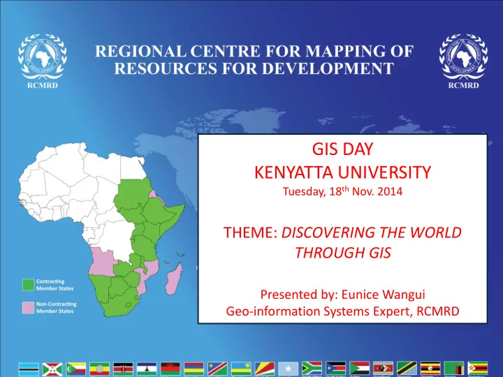
GIS DAY KENYATTA UNIVERSITY
Tuesday, 18th Nov. 2014
GIS DAY KENYATTA UNIVERSITY Tuesday, 18 th Nov. 2014 THEME: - - PowerPoint PPT Presentation
GIS DAY KENYATTA UNIVERSITY Tuesday, 18 th Nov. 2014 THEME: DISCOVERING THE WORLD THROUGH GIS Presented by: Eunice Wangui Geo-information Systems Expert, RCMRD Who we are? RCMRD established in 1975 under UNECA and OAU
Tuesday, 18th Nov. 2014
– assess land degradation – monitor land cover changes in natural habitats – Manage forest Information management System