
SLIDE 1
9/18/12 1
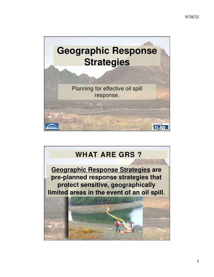
Geographic Response Strategies Planning for effective oil spill - - PDF document
9/18/12 Geographic Response Strategies Planning for effective oil spill response. WHAT ARE GRS ? Geographic Response Strategies are pre-planned response strategies that protect sensitive, geographically limited areas in the event of an
9/18/12 1
9/18/12 2
9/18/12 3
9/18/12 4
Environmental Sensitivity Risk of Potential Oil Spill Ability to Protect the Site
9/18/12 5
Delight Lake Stream/McCarty Lagoon, SZ-19
Geographic Response Strategies for
This map is not intended to be used for navigation. Soundings in fathoms Center of map at 59˚ 32.5' N Lat., 150˚ 20.4' W Lon.
Delight Lake Stream/McCarty Lagoon SZ-19, viewed from the west.
Map
Photo &
SZ-19 Delight Lake Stream and McCarty Lagoon entrance as viewed from the west. Free-oil Containment and Recovery, Shallow Water Exclusion Booming Protected-water Boom Tidal-seal Boom FO-S EX
Scale
1 nm 1 mi. 1,000 yds.FO-S
SZ-19-01 SZ-19-02EX
SZ-19-03EX H
Easement w/ Food Locker
GD e l i g h t L a k e M c C a r t y L a g
Midnight Cove
GH Gate Helicopter Landing Zone Bears in Area, Guards Needed Private Cabin Nuka Research & Planning Group, LLC. January 2004
9/18/12 6
Seward Zone Geographic Response Strategies January 2004 SZ19 ID Location and Description Response Strategy Implementation Response Resources Staging Area Site Access Resources Protected
(months)Special Considerations SZ-19-01 Delight Lake Stream/McCarty Lagoon Nearshore waters in the general area of:
Free-oil Recovery-Shallow Water Maximize free-oil recovery in the offshore & nearshore environment of Delight Lake Stream depending on spill location and trajectory. Deploy free-oil recovery strike teams upwind and up current of Delight Lake Stream. Use aerial surveillance to locate incoming slicks. Deploy multiple free-oil recovery strike teams as required to maximize interception of oil before it impacts sensitive areas. Seward Via marine waters Chart 16682-1 Same as SZ-19-02 Vessel master should have local knowledge. REPORT any cultural resources found during operations to FOSC Historic Properties Specialist. Site surveyed: 9/06/02 GRS WG SZ-19-02 Delight Lake Stream/McCarty Lagoon
Exclusion with Gate Exclude oil from entering Delight Lake Stream and McCarty Lagoon. Establish a gate to provide access to McCarty Lagoon. Transport equipment by vessel (class 3/4) from Seward. Deploy anchors and boom with skiffs (class 6) Place tidal-seal boom on the north end of the array and protected-water boom
McCarty Lagoon. Establish boom angle to deflect oil to the north beach. Tend throughout the tide. Deployment Equipment 1500 ft. protected-water boom 100 ft. tidal-seal boom 10 ea. anchor systems (~40 lbs.) 2 ea. anchor stakes 1 ea. gate Vessels 1 class 2 (transport) 1 class 3/4 1 class 6 Personnel/Shift 9 ea. vessel crew Tending Vessels 1 ea. class 3/4 1 ea. class 6 Personnel/Shift 3 ea. vessel crew Vessel platform Via marine waters, Helicopter Chart 16682-1 Title 16 permitting required from ADF&G. Fish- intertidal spawning, salmon, herring (April-May) Marine mammals-seal, sea otters Birds- eagle nest (May- Sept.) waterfowl feeding and nesting, mergansers, harlequin, loons, oyster catchers Habitat-marsh Human use-high recreational use, sport fishing, commercial fishing (May-Sept.) Terrestrial mammals- bears Vessel master should have local knowledge. The surrounding lands are property of the Port Graham Village Corporation. Contact the Corporation as soon as possible for permitting to conduct shore-side activities. Conducting any on-shore activity in the surrounding area beyond the scope of this document requires the express consent of the Port Graham Village Corporation. The beach outside McCarty Lagoon should be a priority for shoreline clean-up. Biting insects may present a response hazard. Site surveyed: 9/06/02 GRS WG Tested: not yet SZ-19-03 Delight Lake Stream/McCarty Lagoon Northwest
Exclusion Exclude oil from entering Delight Lake/McCarty Lagoon. Transport equipment by vessel (class 2/3/4) from Seward. Deploy anchors and boom with skiffs (class 6) Place tidal-seal boom and calm-water boom along the eddy line created by the current entering the lagoon. Tend throughout the tide. Deployment Equipment 600 ft. calm-water boom 2 sections ≥50 ft. tidal-seal boom 3 ea. anchor systems (~40 lbs.) 4 ea. anchor stakes Vessels/Personnel/Shift Same as SZ-19-02 Tending Vessels/Personnel/Shift Same as SZ-19-02 Vessel platform Via marine waters Chart 16682-1 Same as SZ-19-02 Vessel master should have local knowledge. Site surveyed: 9/06/02 GRS WG Tested: not yet
9/18/12 7
Subarea Subarea Zone Zone Number mber of
sites considered considered Number mber Bein Being g Considered Considered Number mber Dev Developed eloped Southeast Alaska Total 9 Zones 189 60 GRS to be developed 60 Northwest Arctic Total 3 Zones 108 2012-13 45 GRS 63 Cook Inlet Total 5 Zones 355 20 GRS being developed 135 Kodiak Total 5 Zones 174 85 Aleutian Total 5 Zones 358 2012-13 GRS TBD 42 Prince William Sound Total 4 Zones 170 99 Bristol Bay Total 2 Zones 64 32 Western Alaska Total 3 Zones 74 40 Statewide Totals 1492 556
9/18/12 8
Subarea Subarea Zone Zone Number mber of
sites sites considered considered Number mber Bein Being g Con Considered sidered Number mber Dev Developed eloped Cook Inlet Central Cook Inlet 55 22
50 17 Kachemak Bay 62 21 SW Cook Inlet 28 18 SE Cook Inlet 41 22 Swanson River Field 6 6 Seward Zone 113 20 GRS in process 29 Cook Inlet Total 5 Zones 355 135 Subarea Subarea Zone Zone Number mber of
sites sites considered considered Number mber Bein Being g Con Considered sidered Number mber Dev Developed eloped Kodiak Phase 1 20 Phase 2 Northern Zone 36 12 Phase 2 Western Zone 23 14 Phase 3 Mainland 36 19 Phase 4 Southern 21 10 Phase 4 Eastern 58 10 Kodiak Total 5 Zones 174 85
Subarea Subarea Zone Zone Number mber of
sites sites considered considered Number mber Bein Being g Con Considered sidered Number mber Dev Developed eloped Prince William Sound Northeast 41 39 X Northwest 49 25 X Southeast 34 14 X Southwest 46 21 X Prince William Sound Total 4 Zones 170 99
9/18/12 9 2011‐12 PWSRCAC GRS Development Cook Inlet‐Seward Zone
17 16 14 24 22 21 20 19 18 15 13 29 28 27 26 25 23
G U L F O F A L A S K A
N U K A B A Y N u k a I s l a n d H a r r i s P e n i n s u l a M c C A RT Y F J O R D
K e n a i P e n i n s u l a
S e w a r d Z
e B
n d a r y H A R R I S B A Y
N O R T H A R M W E S T A R M T W O A R M B A Y A I A L I K B A Y
40 41 42 43 44 45 46
November 30, 2011 SZ-13 – Granite Passage SZ-14 – Cataract Cove SZ-15 – Harris Bay Lagoon SZ-17 – Taroka Arm SZ-18 – Thunder Bay SZ-19 – Delight Lake Stream/McCarty Lagoon SZ-20 – Desire Creek SZ-21 – Nuka East Arm Rookery SZ-22 – James Lagoon SZ-23 – Palisade Lagoon SZ-24 – Ariadne Cove SZ-25 – Beautiful Isle SZ-26 – Pilot Harbor SZ-27 – Nuka North Arm Spawning Streams SZ-28 – Beauty Bay SZ-29 – Yalik Bay CIS-16 Northwestern Lagoon/ Otter Cove CIS-40 Sandy Bay & Cup Cove CIS-41 Head of Paguna Arm CIS-42 Delusion Creek CIS-43 Nuka North Arm Spawning Stream 2 CIS-44 Nuka Island Spawning Stream & Rookery CIS-45 Nuka Pass Spawning Stream CIS-46 Outer Cove
SEWARD ZONE - Map 1 of 2 SITES DEVELOPED as GEOGRAPHIC RESPONSE STRATEGIES SELECTED SITES for GEOGRAPHIC RESPONSE STRATEGIES
01 30 31 32 33 34 38 35 36 37 39 08 02 05 04 10 07 03 06 09 11 12
G U L F O F A L A S K A
B L Y I N G S O U N D R E S U R R E C T I O N B A Y A I A L I K B A Y P U G E T B A Y
SEWARD
R e s u r r e c t i o n P e n i n s u l a W H I D B E Y B AY J O H N S T O N E B AY S e w a r d Z
e B
n d a r y G r a n i t e I s l a n d
SEWARD ZONE – Map 2 of 2 SITES DEVELOPED as GEOGRAPHIC RESPONSE STRATEGIES
SZ-09 – Aialik Bay Spawning Streams SZ-10 – Pedersen Glacier Lagoon SZ-11 – Quicksand Cove Lagoon SZ-12 – McMullen Cove SZ-05 – Spring Creek SZ-06 – Tonsina Creek SZ-07 – Bulldog Cove SZ-08 – Abra Cove SZ-01 – Johnstone Bay SZ-02 – Day Harbor SZ-03 – Humpy Cove SZ-04 – Thumb Cove
November 30, 2011 CIS-01 Johnstone Bay-Salmon Stream CIS-09 Aialik Bay Spawning Streams CIS-30 Head of Puget Bay CIS-31 Widby Bay CIS-32 Horsehead Bay CIS-33 Head of Day Harbor CIS-34 Eldorado Narrow/ Cape Resurrection CIS-35 Resurrection Bay/ Seward Lagoon CIS-36 Bear Glacier Lagoon CIS-37 Porcupine Cove CIS-38 Chiswell Island CIS-39 Holgate Arm
SELECTED SITES for GEOGRAPHIC RESPONSE STRATEGIES
9/18/12 10