
SLIDE 1
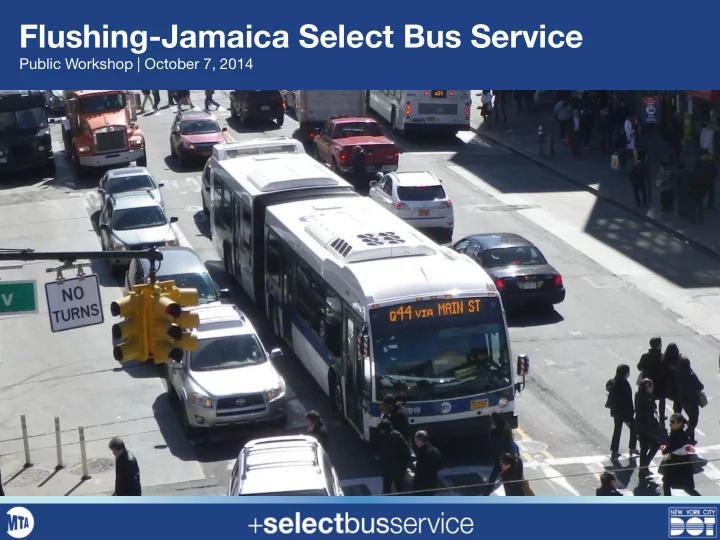
Flushing-Jamaica Select Bus Service
Public Workshop | October 7, 2014
Flushing-Jamaica Select Bus Service Public Workshop | October 7, - - PowerPoint PPT Presentation
Flushing-Jamaica Select Bus Service Public Workshop | October 7, 2014 Overview Select Bus Service in New York City Flushing-Jamaica Corridor Ridership Sources of Delay Bus Travel Speeds Crash Data Related Initiatives
Public Workshop | October 7, 2014
Select Bus Service in New York City Flushing-Jamaica Corridor
Related Initiatives Underway in Flushing Project Timeline Next Steps Workshop Exercises
2
Improve bus speed and reliability Connect two of NYC’s busiest business districts Improve safety for all street users Maintain community character
3
Select Bus Service (SBS) is New York City’s brand name for Bus Rapid Transit SBS brings:
Buses 15-20% faster 10%+ increases in ridership in first year 95%+ customer satisfaction Improved passenger comfort & convenience
4
Flushing to Jamaica corridor identified in initial NYC BRT study (2006) and Bus Rapid Transit Phase II report (2009) Characterized by “long and slow bus trips”
5
2010: Pedestrian improvements in Downtown Flushing; capital buildout forthcoming 2011: Bus lanes and other transit improvements in Jamaica Center 2014: Mayor de Blasio announces Vision Zero initiative to eliminate traffic fatalities in New York
6
Dedicated Bus Lanes
7
Faster Fare Collection
8
Signal Priority for Buses
9
Revised Parking Regulations
10
Real-Time Passenger Information
11
Pedestrian Safety Improvements
12
Improved Station Amenities
13
14
Main Street:
Parsons Blvd/Kissena Blvd:
15
Residents within ½ mile:
Mode to Work % of workers Subway 33% Bus 15% Driving 37% Other 14%
Main St Routes
16
Route Weekday Ridership Peak Frequency Q20 13,609 12 minutes Q44 28,689 4 minutes Route Weekday Ridership Peak Frequency Q25 19,324 8 minutes Q34 7,054 10 minutes
Kissena Blvd/Parsons Blvd Routes
28% 10% 20% 42%
Corridor Ridership
Q25 Q34 Q20 Q44
Total corridor ridership over 68,000 daily riders
17
18
In Motion 51% Bus Stops 18% Traffic & Red Lights 29% Other 2%
AM and PM peak period observations, Spring and Fall 2014
19
In Motion 54% Bus Stops 15% Traffic & Red Lights 29% Other 2%
AM and PM peak period observations, Spring and Fall 2014
20
Q44 Q25
Congestion Hot Spots
Flushing
Bus speeds under 10 mph overall
Top Crash Intersections
21
Transit, traffic and parking analysis underway to:
and The Bronx
22
Traffic control system for Downtown Flushing enables NYCDOT to adjust signals in response to traffic congestion in real time Similar system led to 10% travel time reduction in Midtown Traffic model in development
23
DDC Capital project to widen sidewalks in Downtown Flushing
and 41st Av Detailed design in progress
24
Step 1: Data collection & analysis
Step 1 Step 2 Step 3 Step 4
Summer/Fall 2014
25
Step 2: Corridor Selection and Concept Design
Step 1 Step 2 Step 3 Step 4
Winter 2014/2015
26
Step 3: Develop corridor plan
Step 1 Step 2 Step 3 Step 4
2015
27
Step 4: Final Design plan
Step 1 Step 2 Step 3 Step 4
TBD
28
Fall 2014: Additional data collection Transit operations analysis Develop routing concepts Winter 2014: Second Public Meeting
29
30