
SLIDE 1
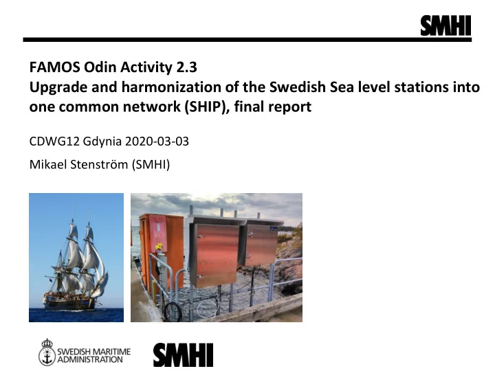
FAMOS Odin Activity 2.3 Upgrade and harmonization of the Swedish Sea level stations into
- ne common network (SHIP), final report
FAMOS Odin Activity 2.3 Upgrade and harmonization of the Swedish Sea - - PowerPoint PPT Presentation
FAMOS Odin Activity 2.3 Upgrade and harmonization of the Swedish Sea level stations into one common network (SHIP), final report CDWG12 Gdynia 2020-03-03 Mikael Stenstrm (SMHI) The Swedish Sea Level Network Real-time data in Baltic Sea Chart
4
Illustration Veronica Wärn SMHI
7
Användar gruppsmö te 2018-
Klagshamn, stilling well (with inlet pipe) Barsebäck, Wodden drum Malmö hamn, quay side installation (open pipes)