
SLIDE 1
Federal Remediation Technology Roundtable November 7, 2018
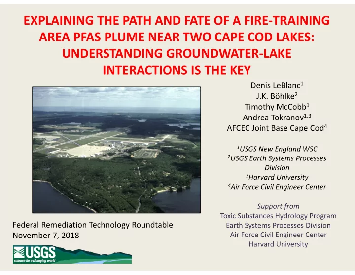
EXPLAINING THE PATH AND FATE OF A FIRE-TRAINING AREA PFAS PLUME NEAR TWO CAPE COD LAKES: UNDERSTANDING GROUNDWATER-LAKE INTERACTIONS IS THE KEY
Denis LeBlanc1 J.K. Böhlke2 Timothy McCobb1 Andrea Tokranov1,3 AFCEC Joint Base Cape Cod4
1USGS New England WSC 2USGS Earth Systems Processes
Division
3Harvard University 4Air Force Civil Engineer Center
Support from Toxic Substances Hydrology Program Earth Systems Processes Division Air Force Civil Engineer Center Harvard University