
SLIDE 1
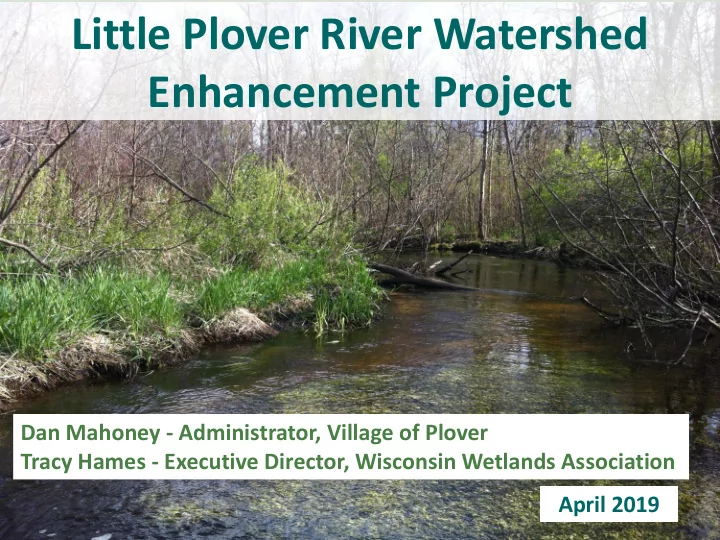
Little Plover River Watershed Enhancement Project
April 2019 Dan Mahoney - Administrator, Village of Plover Tracy Hames - Executive Director, Wisconsin Wetlands Association
Enhancement Project Dan Mahoney - Administrator, Village of Plover - - PowerPoint PPT Presentation
Little Plover River Watershed Enhancement Project Dan Mahoney - Administrator, Village of Plover Tracy Hames - Executive Director, Wisconsin Wetlands Association April 2019 Little Plover River Watershed Long History of Study & Controversy
April 2019 Dan Mahoney - Administrator, Village of Plover Tracy Hames - Executive Director, Wisconsin Wetlands Association
80% of Water
Ephemeral Riparian/Riverine Wet Meadows
Middle
Floodplain Sediment transport
Riparian/Riverine Alder/Shrub Carr
Depositional
Estuaries Marshes Shoreline Wetlands
Depletion potential from MODFLOW (WGNHS & USGS)
Wooded: wide & shallow Open: narrow & deep
Reference Reach East of Kennedy Impacted Reach West of Kennedy
Requires 5 cfs to interact with floodplain
Requires 45 cfs to interact with floodplain
Discharge peaked at 50 cfs. Took 2 months to come back to baseflow
Discharge peaked at 75 cfs. Took 1 month to come back to baseflow.
Discharge peaked at 70 cfs. Took 10 days to come back to baseflow.
Reshape channel morphology so the stream interacts with its floodplain more frequently. Based
that would be 25-30 cfs.