
SLIDE 1
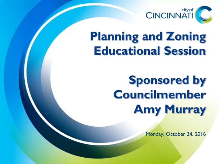
Monday, October 24, 2016
Educational Session Sponsored by Councilmember Amy Murray Monday, - - PowerPoint PPT Presentation
Planning and Zoning Educational Session Sponsored by Councilmember Amy Murray Monday, October 24, 2016 Speakers Amy Murray, City of Cincinnati Councilmember Katherine Keough-Jurs , Department of City Planning James Weaver,
Monday, October 24, 2016
whole or any portion of the city and of any land outside the city which, in the opinion
additions to and extensions of such plans or maps when it deems same advisable. Such maps and plans shall show the commission's recommendations for the location and extent of streets, alleys, ways, viaducts, bridges, subways, parkways, parks, playgrounds and other public grounds and public improvements, of public buildings and other public properties, and of public utilities whether publicly
power and other purposes; and for the removal, relocation, widening, extension, narrowing, vacation, abandonment or change of use of any of the foregoing public places, works, buildings, or utilities. Such maps and plans may also include the division of the city into zones or districts, in accordance with the commission's recommendations for the limitation and regulation of the height, bulk (including percentage of lot occupancy and set-back building lines) and use of buildings and other structures and premises in such zones or districts.
discussion
http://tinyurl.com/CPCprocedures
very low densities found in suburban residential districts. The minimum lot size is 20,000 square feet.
SF-20 SF-10 SF-6 SF-4
Year ROW 1 into 2 1 into 3 1 into 4 1 into 5 Total Deeds Stamped** 2012 37 38 1 89 2013 26 32 2 3 1 85 2014 63 42 4 1 146 2015 42 57 10 6 5 137 *2016 17 17 10 3 1 67 *As of 10/21/16 **Applicants often submit a deed for each lot in the split. Multiple deeds stamped on the same day (i.e. 3 deeds for the same address on the same day) are considered one split, which is why the total numbers do not match up.