
SLIDE 1
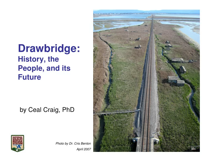
Drawbridge:
History, the People, and its Future
by Ceal Craig, PhD
Photo by Dr. Cris Benton April 2007
Drawbridge: History, the People, and its Future by Ceal Craig, - - PowerPoint PPT Presentation
Drawbridge: History, the People, and its Future by Ceal Craig, PhD Photo by Dr. Cris Benton April 2007 Drawbridge: History, People, & its Future SUMMARY South Bay Life in the 1800s Trains & Bridges of Drawbridge Maps :
Photo by Dr. Cris Benton April 2007
A mosaic of remarkable aerial photographs from the San Francisco Estuary Institute. These show the wetlands before the salt ponds were built. For the originals see www.southbayrestoration.org/
– 7/8 of a mile long, 80 acres in size
– 1887: bridges completed. Two-room bridge tender’s cabin – 1906: 79 cabins, two hotels
– 1926: 90 cabins, five passenger train stops a day – 1931: Electricity arrives – 1940: water levels dropping (begin in early 1930s) – 1976: one resident remained
Photo by Ceal Craig
View to south towards Alviso
Photo by Dr. Cris Benton May 24, 2010
Origin unknown Burrill & Rogers
Historical Atlas of Santa Clara County – 1876 [2]
1849 - 1864
– $32 or “two ounces of gold” – Trip was 9 hours
– $35, 3-4 hours (?) – 50 steamers on Bay by 1850
– $8, taking 6.5 hours
1864 – 1870 and beyond
Railroad >> Southern Pacific 1876 – 1906
through Drawbridge to San Jose then Santa Cruz
Railroad
1906 – 1955
1955
Today
– Swing bridge, central pier, iron truss span, hand-operated
– Trestle bridges built
– Mud Slough Bridge rotates/swings – Coyote Creek bridge – 1955 trestle span
Second Bridge
Built in 1904, four-lever mechanical interlocking bridge. Retired in 1944 and replaced by trestle bridges
Swing Bridges Mud Slough Bridge Today, pivots in center Coyote Creek Bridge, 2011
Photo by Ceal Craig
Circa 1903
Building is The Recreation (owned by Byrnes)
Dixon Landing
View to west towards slough convergence
Photo by Dr. Cris Benton June 7, 2011
East facing view of sloughs converging
Photo by Ceal Craig July 2, 2012
Earlier view of Drawbridge after it became part of NWR
Photo by Dr. Cris Benton September 10, 2006
Sinking building
Photo by Dr. Cris Benton September 3, 2006
East Bay hills over Mud Slough
Photo by Dr. Cris Benton May 24, 2010
Gordon Gun Club built 1876, shape of a railroad car or ship cabin. Had ships bell in 1979. Rented for $5
Courtesy, California Historical Society, Albert E. Norman Coll. CHS2012.963.tif
– Quickly cabins dotted Station Island – Cabins built on stilts above shifting tides – Wooden walkways as streets – Main Street: Railroad track!
Social center, North Summer Drawbridge–known for ice cream socials Large screened in porch.
1903
– Lucille & George Cervieres (1905 – 1928)
Courtesy, California Historical Society, Challis Gore Coll.. CHS2012.962.tif 1904, in front of Southern Pacific Station
View to south
Photo by Dr. Cris Benton September 6, 2009
View to north
Photo by Dr. Cris Benton May 26, 2010
View to north
Photo by Dr. Cris Benton June 7, 2011
1981
(memories from Stuart Holden, son
1974
Photos by Ceal Craig
Screen shot from Visual Earth
House & Boathouse originally
John and Ann Byrns
^^ Outhouse
Cornelius Reinhardt
~1915
– November 5, 1914 deeded to Hedwig – March 2, 1926 Hedwig to Ike Oswald (nephew)
– Small bedrooms on one side; dining room & kitchen on the other – One bathroom, porch around hotel
Sprung Hotel (pictured above ~1967) collapsed New Year’s storm 1967-68 Sprung Hotel Tower? 1990’s Fell or pulled down 2005 at same time Nellie's home burned
Nellie Dollin—Belle of Drawbridge
– Moved there at age 10, in 1910 – 1926 bought her first home, trashed by vandals in
different places. – 1950s & 1960s: often the only “permanent” resident until 1974
Nellie’s first house 1961
– Levees built for salt ponds. Marshes begin to drain – Sewage from San Jose & Newark destroyed slough & wildlife – Sprung Hotel closed as Great Depression begins – Hunter’s Home/Lodge burned down in late 1930s or 1943
– Fremont-Newark area drew water from water table – Drawbridge deep wells ran dry – North bridge sinks 10 inches (1948–1960), 7 more inches by 1966 – Two story home built (~1945) in south Drawbridge on Hunter Lodge site – 1950: Anderson Dam built, slowed Coyote Creek flow
– Fewer than 25 residents remain in 1967 – 1967-68: Sprung Hotel remnants flattened by New Year’s storm – 1970s: train station torn down (“Liability to Southern Pacific” per Nellie)
Dear Thieves and vandals. Please do not break into this house. It’s the only house we have. Inside are things of little value to anyone else and most of them are essential to our existence, Thank you.
Barney’s place burned in 1984 Nellie's second home burned in 1985
– Left Drawbridge in October 1979
Drawbridge, Charlie replied …
Well, I keep going around here, looking in these bulrushes for someone named “Moses.” I think we could use somebody with that name to lead us out of the wilderness these days, or actually, back into it. House burned down in 1986
1979
Charlie & Quincy
View to north from north A17
Photo by Ceal Craig, September 10, 2010
^^ South Drawbridge houses << Dan Ritchie’s Two-Story Water Tower, Tank & Windmill are gone North Drawbridge from afar (below)
View to south
Photo by Dr. Cris Benton June 7, 2011
– Drawbridge Expert & Tour Guide at DESFB NWR for >16 years – Photos from Pat’s presentation
– Professor Emeritus of Architecture, UC Berkeley – Digital Photos Captured by KITE! Used with permission – http://www.flickr.com/photos/kap_cris/
– CEO of “Soft Underbelly of San Jose” – Historical Atlas, page 4 – http://www.sanjose.com/underbelly/
– Images of America: Alviso—San Jose (2006)