
SLIDE 1
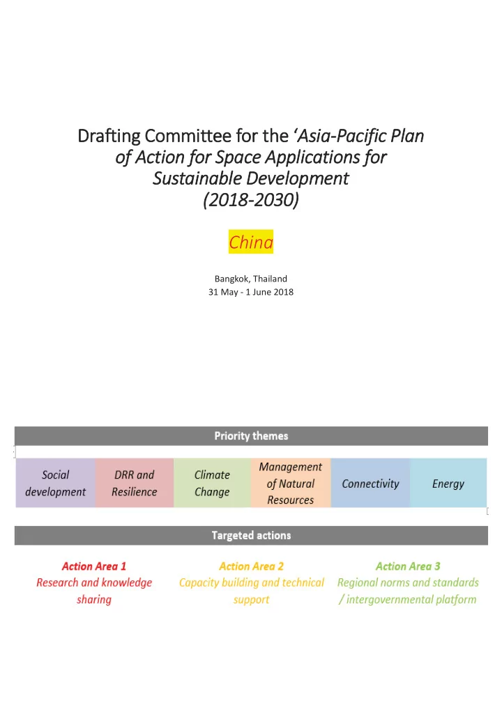
Drafting Committee for the ‘Asia-Pacific Plan
- f Action for Space Applications for
Sustainable Development (2018-2030) China
Bangkok, Thailand 31 May - 1 June 2018
Drafting Committee for the Asia-Pacific Plan of Action for Space - - PDF document
Drafting Committee for the Asia-Pacific Plan of Action for Space Applications for Sustainable Development (2018-2030) China Bangkok, Thailand 31 May - 1 June 2018 Asia-Oceania Global Earth Observation System of Systems ( AOGEOSS )
Bangkok, Thailand 31 May - 1 June 2018
Provide a platform for regional countries to advance data sharing and services; Establish regional collaboration network by technology supporting and knowledge sharing; Support decision-making and regional sustainable development with Earth observation information.
Engage with and Coordinate all stakeholders, partners and sponsors working together on Earth observation activities in Asia Oceania region;
Investigate user needs and address gaps
develop technological approaches; Utilize infrastructure, resources and capacity to develop integrated and sustained observations;
Ameri-GEOSS Ameri-GEOSS
AO AO AO AO AO O GEOSS
AfriGEOSS
7
Cope with global climate change and
Develop and share global datasets Focuses on regional and global scale Analyze data and release report Focuses on global ecological
Provide consultations and help decision
8
Distribution Pattern of Natural Elements of Ecological Environment in China-ASEAN
Since 2012, including 8 subjects, 15 reports. Support global change studies and international cooperation via GEO.
Reports list Growth Conditions of Global Terrestrial Vegetation (2012, 2013) Terrestrial Surface Water Areas (2012,2013) Urban and Rural Resident Land Cover Distribution between 2000-2010 (2013) Supply Situation of Maize, Rice, Wheat and Soybean (2013, 2014, 2015, 2016) Large Area Wetlands of International Importance (2014) Africa Land Cover (2014) China-ASEAN Ecological and Environment Conditions( 2014) 'The Belt and Road Initiative' Ecological and Environmental Conditions (2015)
Finer Resolution Observation and Monitoring – Global Land Cover (FROM-GLC) 2015
The Belt and Road Initiative Ecological and Environmental Conditions The Impacts of Global Natural Disasters on Vegetation
The remote sensing monitoring regions of the ecological environment over the ‘Belt and Road’
The Belt and Road Initiative Ecological and Environmental Conditions
Distribution of road connectivity conditions in monitoring area
The Belt and Road Initiative Ecological and Environmental Conditions
Distribution of solar energy resources level of the ‘Belt and Road’ region in 2015
Type of data set No. Name of data set ‘The Belt and Road Initiative' Ecological and Environmental Conditions 1 Landsat based land cover product for 2015 in the Belt and Road Initiative area 2 The potential of solar power generation in the Belt and Road Initiative area 3 The plant potential productivity in the Belt and Road Initiative area 4 Evapotranspiration product over the Belt and Road region by ETMonitor for 2015 5 1 km Mean Leaf Area Index Product over the Silk Road Economic Belt and the 21st-Century Maritime Silk Road for 2015 6 1 km Max Fractional Vegetation Cover Product over the Silk Road Economic Belt and the 21st- Century Maritime Silk Road for 2015 7 1 km anomaly of PAR,TEM,VPD stress factor over the Silk Road Economic Belt and the 21st-Century Maritime Silk Road for 2015 8 Forest Above-ground Biomass Map in the Belt and Road area, 2015 (1km) 9 RoadDensity_B&R_2016 10 B&R City island data 11 The annual frequency of disastrous waves over the ocean on the Belt and Road region The Impacts of Global Natural Disasters on Vegetation 12 The dataset of the typical drought disasters' impacts on terrestrial vegetation 13 Datasets of earthquake disaster impacts on vegetation 14 The terrestrial vegetation datasets affected by typical forest fire 15 Typical major flood disaster impacts on terrestrial vegetation data sets Data download URL: http://www.chinageoss.org/en/index.jsp
2016.12.22
Yi Liu et al., 2018
19
ZY-3 image GF-1 image
Sensor Resolution Time Region MetaData Number ImageData Number FY3A MERSI 250m, 1000m 2012-2014 Global 99305 10TB FY3A VIRR 1000m 2012-2013 Global FY3B MERSI 250m, 1000m 2011-2014 Global 133883 12TB FY3B VIRR 1000m 2012-2013 Global FY3C MERSI 250m, 1000m 2014 Global 34572 4TB CBERS CCD 20m 1999-2018 China 2682 1TB HJ CCD 30m 2009-2013 China 931 1TB GF WFV 16m 2013 China 725 1TB
Product Type Resolution Time Region MetaData Number ImageData Number Global LAnd Surface Satellite (GLASS) Products Surface Broadband Albedo (ABD) 1000m 2000-2013 Global 855740 7TB Global LAnd Surface Satellite (GLASS) Products Fraction of Absorbed Photosynthetically Active Radiation (FAPAR) 1000m 2000-2013 Global 6TB Global LAnd Surface Satellite (GLASS) Products Leaf Area Index (LAI) 1000m 2000-2013 Global 7TB Global LAnd Surface Satellite (GLASS) Products Land Surface Temperature (LST) 1000m 2000-2013 Global 1TB