SLIDE 1 Sandia National Laboratories is a multi-program laboratory managed and operated by Sandia Corporation, a wholly owned subsidiary of Lockheed Martin Corporation, for the U.S. Department of Energy’s National Nuclear Security Administration under contract DE-AC04-94AL85000.
Photos placed in horizontal position with even amount of white space between photos and header To replace these boxes with images open the slide master
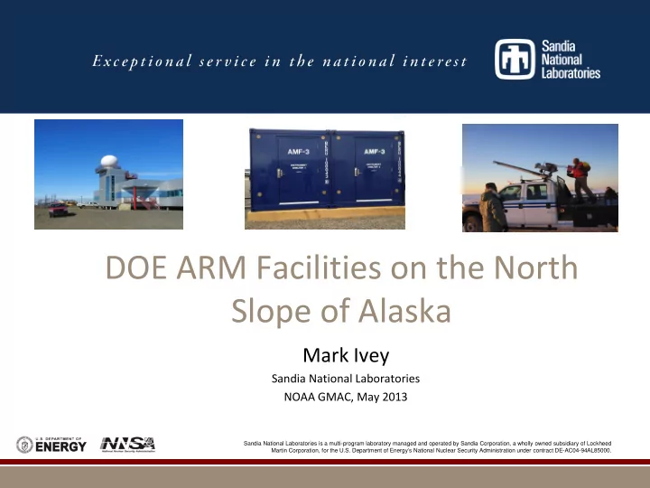
DOE ARM Facilities on the North Slope of Alaska
Mark Ivey
Sandia National Laboratories NOAA GMAC, May 2013
SLIDE 2 ARM Mission and Vision Statements
Mission The ARM Climate Research Facility, a DOE scientific user facility, provides the climate research community with strategically located in situ and remote sensing observatories designed to improve the understanding and representation, in climate and earth system models, of clouds and aerosols as well as their interactions and coupling with the Earth’s surface. Vision To provide a detailed and accurate description of the earth atmosphere in diverse climate regimes to resolve the uncertainties in climate and earth system models toward the development of sustainable solutions for the Nation's energy and environmental challenges.
Source: http://www.arm.gov/about/mission
SLIDE 3
- DOE User Facilities at Barrow and Oliktok
- Recent Field Campaigns on the North Slope
- Inland Facility at Atqasuk -- No Longer Active, Still Available
for Field Campaigns
- AMF3/Oliktok Deployment
- Unmanned Aerial Systems and Tethered Balloons
- http://www.arm.gov/sites/nsa
DOE ARM Program, Arctic Interests
SLIDE 4
ARM Climate Research Facilities in Alaska
Barrow and Oliktok
SLIDE 5
Barrow
SLIDE 6
- Surface Meteorological Sensors
- Wind, Temperature and Humidity
Profilers
Instrumentation
- Downwelling Radiation Sensors
- Upwelling Radiation Sensors
- Aerosol Instrumentation
- Gas Instrumentation
Additions with ARRA Funding:
- Scanning instruments
- Radars
- 3D and 4D cloud profiles
Categories of Instrumentation at Barrow
SLIDE 7
Barrow ARM Climate Research Facilities Existing Facilities and ARRA Additions
SLIDE 8
DOE ARM Facility in Atqasuk
SLIDE 9
DOE ARM Facility in Atqasuk (continued)
SLIDE 10
Oliktok Point, Alaska
SLIDE 11
Oliktok Point Region
SLIDE 12
Oliktok Point Region (continued)
SLIDE 13 USAF Oliktok Point Long Range Radar Station: Sandia has a permit from the USAF for use of selected facilities at Oliktok Point, just as Sandia has a permit for use of selected areas on Kirtland AFB; Oliktok is one of several old Distant Early Warning (DEW Line) radar stations that are still active.
SLIDE 14 Restricted Airspace R2204 at Oliktok Pt;
by Sandia for a field experiment at Oliktok in 2004 (Mixed-Phase Arctic Cloud Experiment [M-PACE]); It’s airspace that, when activated (at DOE discretion), DOE controls; Restricted Airspace is the mechanism through which FAA keeps non-participating aircraft out of an area.
SLIDE 15
Oliktok LRRS
SLIDE 16
Oliktok LRRS (continued)
SLIDE 17
Oliktok LRRS (continued)
SLIDE 18
Presently, we have access to the hanger and the area around it, as well as to lodging and other services at Oliktok LRRS. Note that Oliktok is embedded in the Prudhoe Bay Oil Fields, and is about 40 miles from Deadhorse/Prudhoe Bay Airport.
Existing Hangar at Oliktok Point
SLIDE 19
Tethered Balloon Operations at Oliktok
SLIDE 20
ALTOS Campaign – Balloon Operations
SLIDE 21
ALTOS Campaign
SLIDE 22 DOE has requested from the FAA the creation of a Warning Area over International Waters adjoining Oliktok to accommodate unmanned aircraft flights and other research activities
Arctic Ocean focused on the rapid retreat of the sea ice; Warning Areas confer similar advantages to Restricted Airspace.
A Step Towards an Artic Climate Observatory
SLIDE 23
Unmanned Aircraft in the Artic