
SLIDE 1
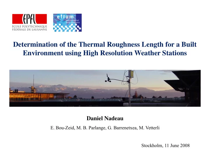
Determination of the Thermal Roughness Length for a Built Environment using High Resolution Weather Stations
Daniel Nadeau
- E. Bou-Zeid, M. B. Parlange, G. Barrenetxea, M. Vetterli