
SLIDE 1
Public Information Centre
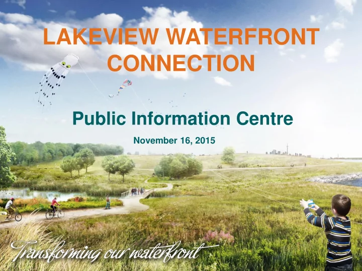
LAKEVIEW WATERFRONT CONNECTION
November 16, 2015
CONNECTION Public Information Centre November 16, 2015 Agenda - - PowerPoint PPT Presentation
LAKEVIEW WATERFRONT CONNECTION Public Information Centre November 16, 2015 Agenda Opening Remarks Status Update Proposed new construction access route Updated conservation area detailed design Status Update Environmental
November 16, 2015
permitting process in next few months
Construction Access Route
Existing Habitat (ha) % Habitat Lakeview Waterfront Connection % increase in habitat from LWC Meadow 225.47 6.0% 11.8 ha 4.97% Cobble beach 1.7 0.0005% 1.0 ha 58.5% Forest 485.26 12.9% 4.6 ha 1.02% Wetlands 18.4 0.5% 6.2 ha 20.2% Swamp 12.07 0.3% 1.5 ha 11.05% Rocky islands 0 ha 0.8 ha Total 742.9 26 ha
LOISS Study Area = 3764.97 ha
LWC Cost Components 2013 2015 *Design
Property Acquisition and Access Road Construction $1,289,000 $2,908,000 Construction $34,111,000 $42,952,000 *TRCA/CVC Project Management Cost $6,300,000 $7,200,000 Contingency $12,500,000 $5,432,000 Recovery
Total $30,600,000 $36,100,000
Main benefits
underway
Main Impacts
CONCLUSION – Preferred POST AMENDMENT DOCUMENT ON WEBSITE & WITH MOECC
Key Outcomes of the Physical Modeling: Able to test shoreline function and habitat stability over wide range of lake levels and wave sizes to account for normal cycles and Climate Change Reduced volume of purchased aggregate materials in the order of $2-$3M Identified design changes to ensure beach stability Explored beach sediment transport patterns and circulation behind the islands Examined ability of Applewood Creek to clear cobbles from outlets and directed design to reduce formation of large cobble plugs
4 – Serson Wetland 1 - Promontory 2 – Seating Node 5 - Seawall 3 – Interpretative Boardwalk
Key Features: Cobble beach with islands Toronto Skyline Revetment Trail
Key Features: Three tiers of armourstone seating Grass between tiers and natural viewscape
Seating Node
Seating Node
Key Features: Groyne:
76msl
beach material Trail Connection to WT:
through woods
woods edge
Key Features: Curvilinear Armourstone Island Navigation Lights
Key Features:
control, etc).
Arsenal dev)
Region of Peel receives design proposal and supports Project Construction October 22 2015 Initiate construction of access road (assuming EA Amendment Approved by end of December) Early 2016 Start building rubble cell (Fisheries window guidelines allows work from July 1st to March 30th ) July 2016 Anticipated rubble Cell 1 completion Fall 2016 Fill material can be accepted at LWC Fall 2016 Construction from west to east Until 2023-2026