
SLIDE 1
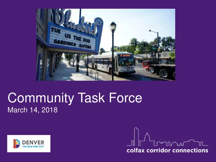
Community Task Force
March 14, 2018
Community Task Force March 14, 2018 Welcome and Introductions - - PowerPoint PPT Presentation
Community Task Force March 14, 2018 Welcome and Introductions Project Partners Regional Transportation District (RTD) City of Aurora Colorado Department of Transportation (CDOT) Denver Regional Council of Governments (DRCOG)
March 14, 2018
Project Partners
Meeting Purpose
Agenda
summary
Analysis
Design & Environmental Analysis
Design
Preferred Alternative
mode & alignment
station locations
Design & Environmental Clearances
determined
impacts identified
Designed and Funded Project
complete
package
Development
months
months
Influence Project Design
Definition of Project
Here
Outreach Snapshot
Center-Running BRT (July 2017 - February 2018)
Community Survey
Agree Neutral Disagree
Survey Responses
Do you agree with the recommendation for center- running BRT on East Colfax?
Agree: 932 respondents Neutral: 53 respondents Disagree: 298 respondents
Agree 73% Neutral 4% Disagree 23%
Breakdown By Neighborhood
Zip Code Percentage Agree/Disagree 80220 (East Colfax/ Mayfair / Montclair / Park Hill) 30.8% 52.4% Agree 30.2% Disagree 80206 (Congress Park / City Park / Cherry Creek) 16.0% 60.8% Agree 20.7% Disagree 80218 (Cheesman Park/ Capitol Hill / Uptown) 7.2% 76.0% Agree 13.5% Disagree 80203 (Capitol Hill / Uptown) 5.5% 73.8% Agree 5.0% Disagree 80205 (Five Points / Whittier / City Park) 5.3% 85.5% Agree 7.9% Disagree 80207 (Park Hill) 4.0% 50% Agree 32.8% Disagree 80202 (Downtown) 3.3% 72.34% Agree 4.3% Disagree
What We’ve Heard : Using The Current System
How often do you use transit on Colfax?
1000 900 800 58.11% Daily, Weekly or Monthly Rarely
*Responses indicating daily and weekly use totaled 39.19%
41.89% 100 200 300 400 500 600 700
What We’ve Heard: Using The BRT System
Are you likely to use the new center-running BRT?
75.90% 24.10% 100 200 300 400 500 600 700 800 900 1000 Yes No
What We’re Hearing: Opportunities
reliability
safely travel the corridor
users
What We’re Hearing: Challenges
traffic to side streets
at signalized intersections
bike/pedestrian facilities
through construction
Traffic Analysis
The Bottom Line:
in transit travel times in 2035 that are competitive with general traffic travel times.
focus of mitigations that may include:
Tradeoffs/Other Considerations:
BRT in 2035 will be less than 10% compared to if nothing is done.
with Center Running BRT.
vehicle/transit operations.
Traffic Analysis: Methodology
the 2016-2017 Center Running Feasibility Study
expected to divert off of Colfax as a result of the Center Running BRT
NOTE: Colfax Connections will continue to analyze traffic as the project
locations for left turns and/or additional traffic signal locations will be incorporated once determined.
Traffic Analysis: Capacity and Volumes
2035 CENTER RUNNING BRT VOLUMES COMPARED TO NO BUILD 2035
Traffic Analysis: Travel Times
2035 CENTER RUNNING BRT TRAVEL TIMES COMPARED TO NO BUILD 2035 10-15 MINUTES LESS
Local Access
What we are hearing:
turn opportunities and mitigations
access destinations
increases on local streets to access businesses
pedestrian deficiencies
Local Access
Opportunities:
allowed at signalized intersections only
street to access businesses)
movements, curb-use, etc.)
Source: https://crashstats.nhtsa.dot.gov/Api/Public/ViewPublication/811366
More than 60% of crashes that occur while turning or crossing an intersection involve left turns (3.1% involve right turns)
Center-Running Bus Rapid Transit: How it Works
Left turn lanes at signals
Single-direction :station platforms at Intersections
coif ax corridor connections
Reduced Conflicts
Healthline, Cleveland, OH
Improves Crossing Safety and Comfort
Madison BRT, Seattle
Stop Spacing/Connectivity
The Bottom Line:
considering walk, wait, and ride
easier for seniors and people with disabilities to ride
and pedestrian access to corridor
Stop Locations
Tradeoffs/Other Considerations:
access enhanced service
providing good access to the corridor
Project Features: Integrated Operations
All corridor buses use one set of stations between Yosemite and Civic Center
Stop Spacing In Denver
Colfax has a well connected urban sidewalk network providing good access to the corridor
BlocksTraveled by Service Provided
BRT 1/4 mi. Household A
2 blocks 3 blocks Household B 3 blocks 3 blocks Household C 3 blocks 3 blocks
BRT 1/2 mi. 3 blocks 5 blocks 4 blocks
BRT Stop (112 mile stop spacing) and Path
118 mi. Service Stop and Path
coif ax corridor connections
How stop spacing affects walking distances
coif ax corridor connections
Walkshed analysis
37
Roll Plot Map Discussion
improvements (signal timing, speed reduction, safety improvements)?
them?
crossings?
terms of walk experience?
Note: The project will continue to refine station spacing and locations, pedestrian crossing opportunities, left-turn and business access, and other detailed elements of street design.
Alternatives Analysis
Conceptual Design & Environmental Analysis
Engineering & Design Construction Revenue Service
Locally Preferred Alternative
mode & alignment
station locations
Concept Design & Environmental Clearances
determined
impacts identified
Fully Designed and Funded Project
complete
package
Federal Transit Administration Project Development 12 18 months 18 months 18 24 months Ongoing Opportunity for Stakeholders and Public To Influence Project Design
Design Detail Broad Definition
We Are Here
Where Do We Go From Here?
Next Task Force meeting: Spring/Summer 2018