
SLIDE 1
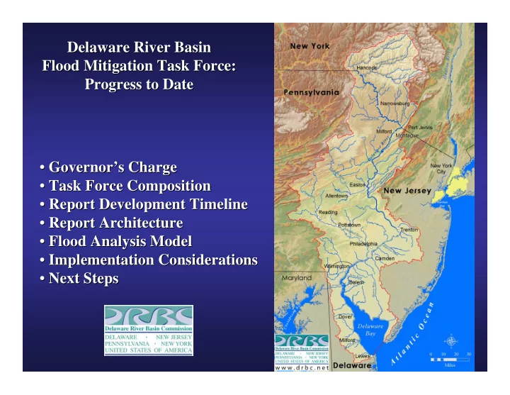
Delaware River Basin Delaware River Basin Flood Mitigation Task Force: Flood Mitigation Task Force: Progress to Date Progress to Date
- Governor’s Charge
Governor’s Charge
- Task Force Composition
Task Force Composition
- Report Development Timeline
Report Development Timeline
- Report Architecture
Report Architecture
- Flood Analysis Model
Flood Analysis Model
- Implementation Considerations
Implementation Considerations
- Next Steps
Next Steps